Mount Lagazuoi- The mountain you’ve never heard of but one of the coolest places in the Dolomites. It stands in a central part of the Dolomites dividing the more famous sections of Val Gardena from Cortina D’Ampezzo. It’s one of the most accessible mountain peaks to visit and offers astounding 360 degree views. From the summit, Grand Cir/ Gardena Pass, the Seceda peaks, Mount Avera/Nouvelau, Marmolada (Italy’s highest peak), and several others are easily visible.
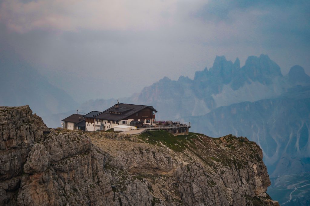
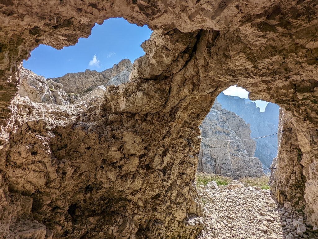
The area is also steeped in history with the hike up/ down from the summit riddled with WWI tunnels. The Lagazuoi tunnels, trenches stand as a testament to time on the grizzly battles that were fought in the area between Austria and Italy. So between the views, the history, and the accessiblity – Mount Lagazuoi is absolutely a MUST do in the Dolomites.
How to visit Mount Lagazuoi
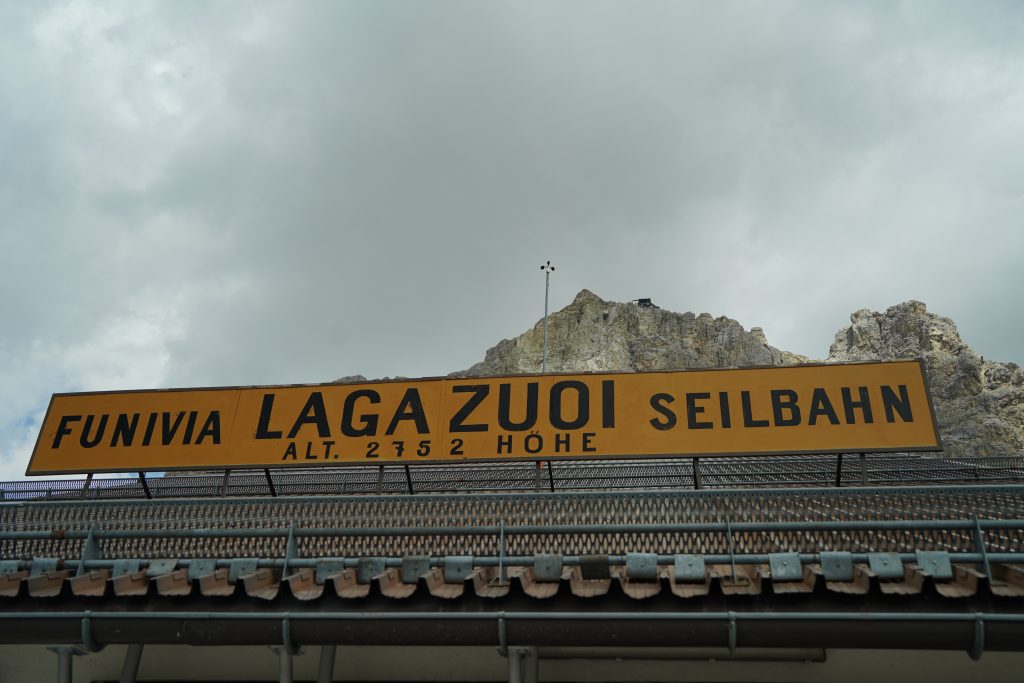
1. Easiest Way: Take the Lagazuoi cable car up and down. The hut is right by the cable car station and if you want to walk to the summit it is a pretty easy stroll to the very top. There’s also a lot of smaller tunnel off shoots from the top including some open air museums that you can visit without doing any hiking. This way you can see and experience the history and views without breaking a sweat.
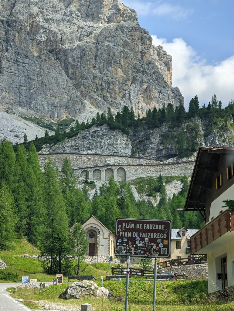
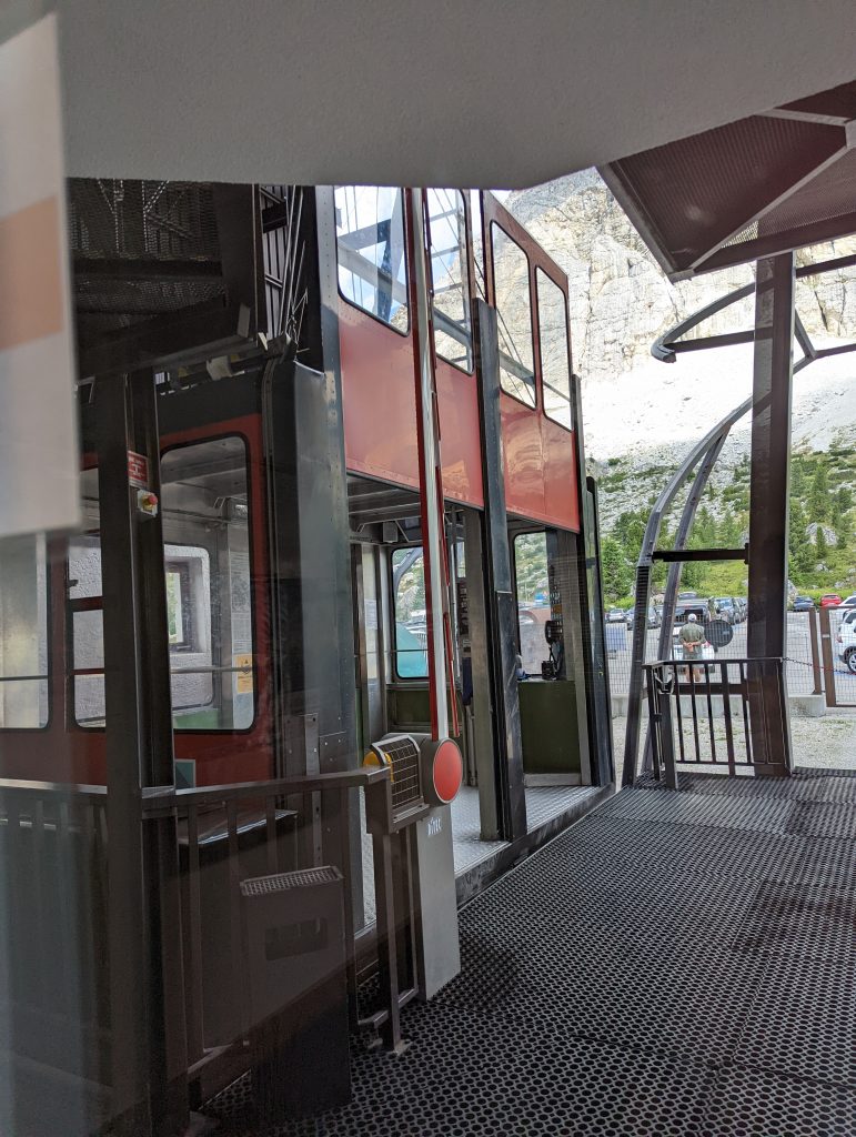
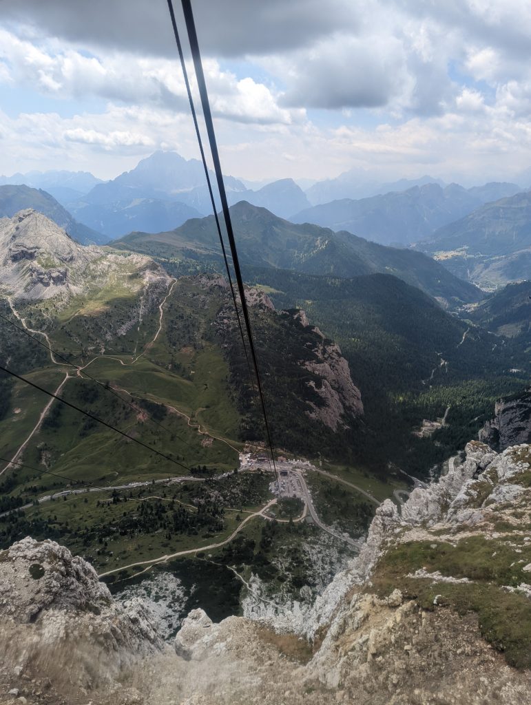
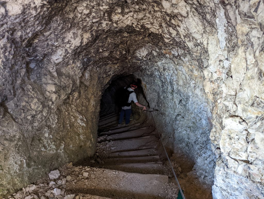
2. Take the cable car up and famous Lagazuoi tunnel hike down. This saves you a lot of effort but still lets you experience the really long tunnels and bunker rooms that are located further from the top. This is the way we took and I can absolutely say I would not want to hike UP the tunnels. They are virtually a series of steep uneven stairs in the dark and that is not my picture of fun. (going down however was great!) Scroll on for details about the tunnel hike.
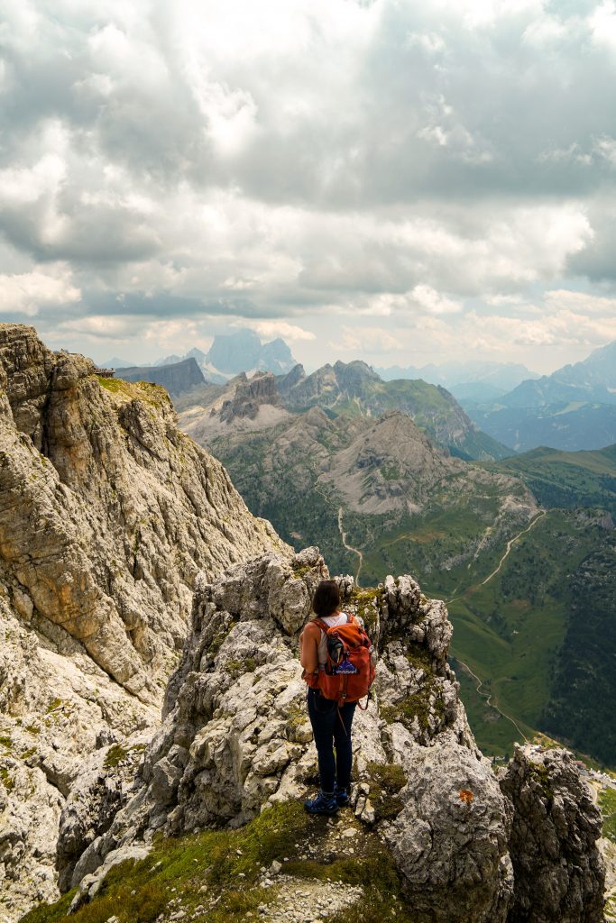
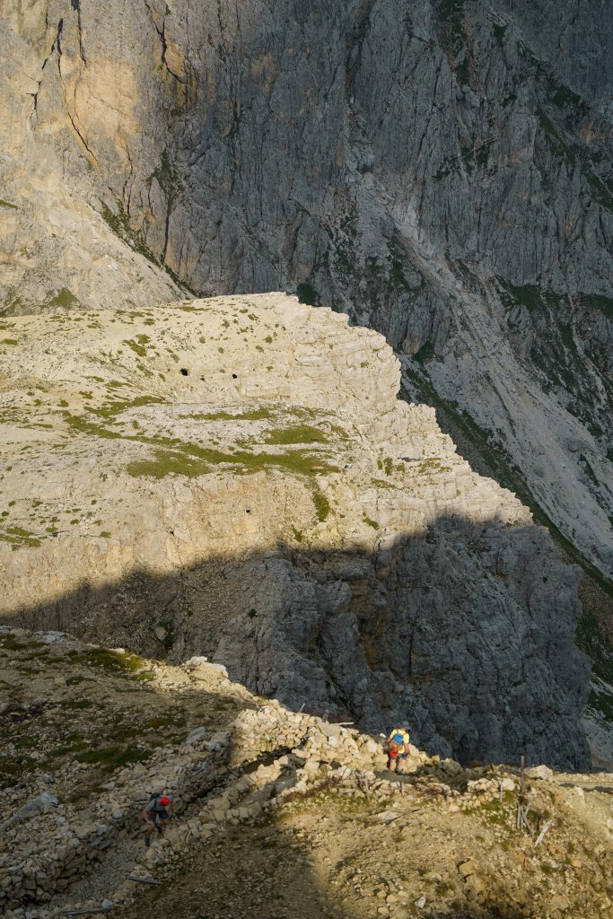
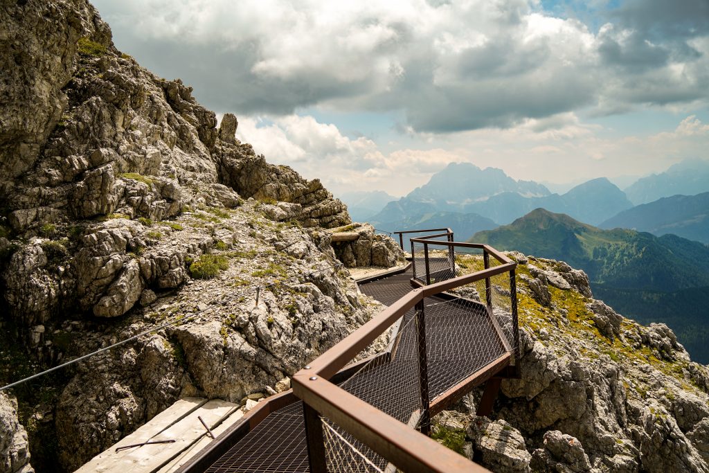
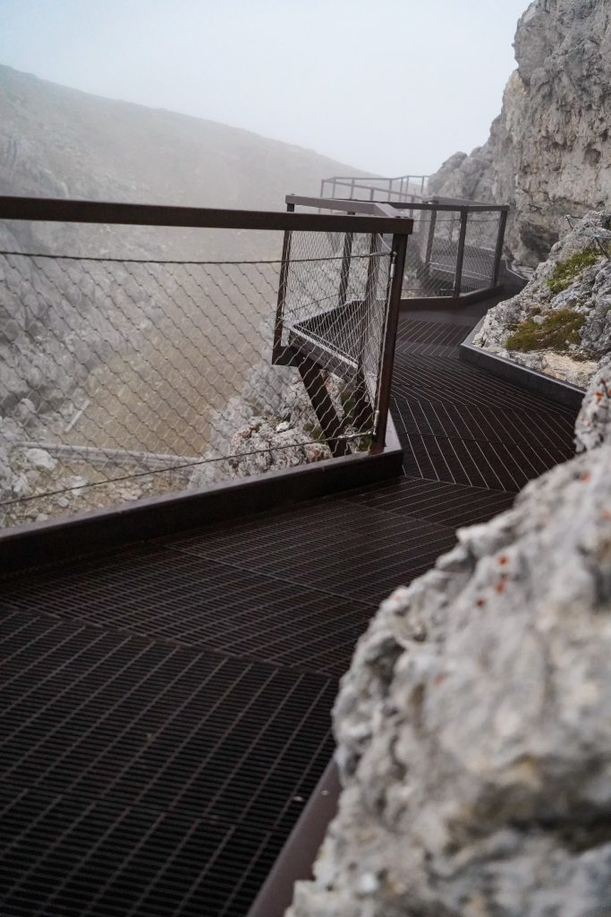
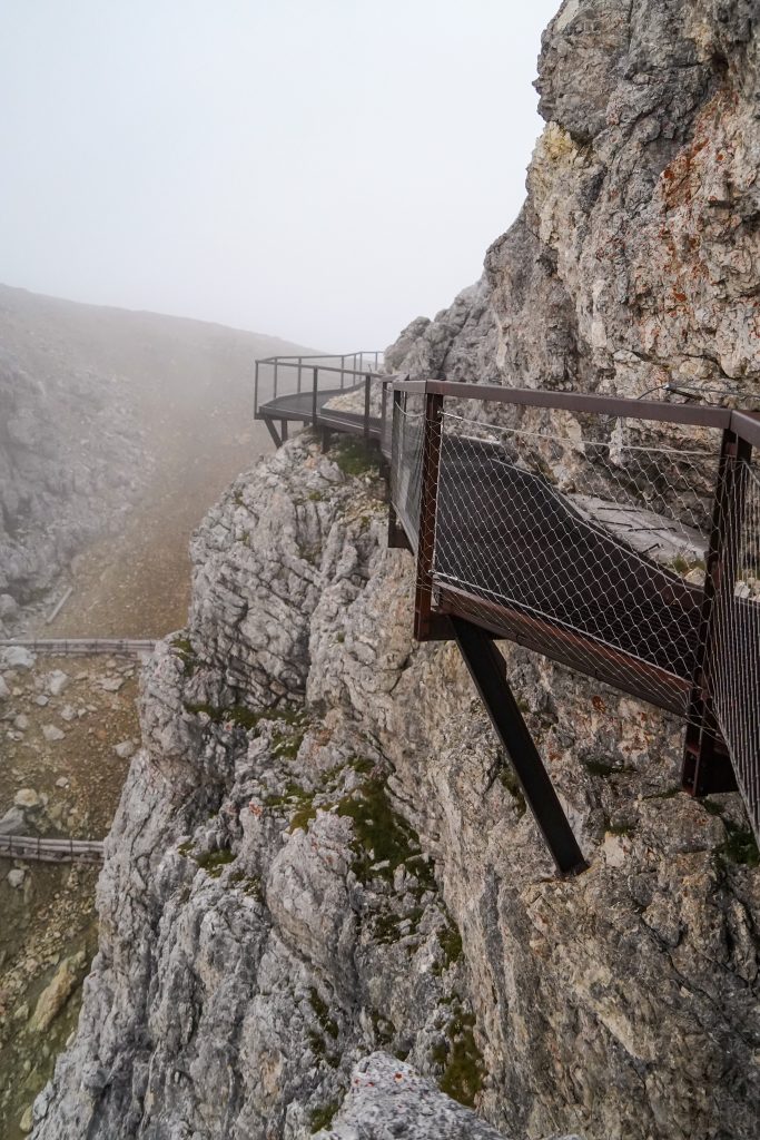
2. Skip the cable car altogether. Take the Lagazuoi Via Ferrata up and the tunnel hike down. This path should really only be taken going up due to some very steep sections. It includes a very cool bridge and some nice via ferrata sections. Only take this path if you are equipped with the right gear. If I’d prepared mentally for the tough climb I would have loved to do it, but we were on a rest day.
Lagazuoi Cable Car prices:
Adults: $15 for one way, or $21 round trip. Children under 8 are free and discounted until the age of 16. For specific prices and the timetable of operation visit here: https://lagazuoi.it/EN/Information-Prices-and-useful-information-page20-Lagazuoi-cable-car-Summer-2022
Parking: Parking is free during the day for customers who take the cable car. ($5 if you don’t take the cable car) However nightly parking is $10 whether you have a reservations/ cable car tickets or not so keep this in mind if you plan to stay at the hut.
WWI history:
While I certainly can’t dive into the complex history that makes up WWI, I can give a little explanation of the Lagazuoi (and Dolomites as a whole) front. At the start of the war, Italy was actually torn between the 2 sides but eventually sided with Great Britain, France, and Russia predominantly due to land border disputes with Austria.
Austria had been occupying the mountain region of the Dolomites and had a much smaller army than the Italian troops so they retreated to the mountain tops. (hello high ground!) Italy spent most of the war then trying to dislodge Austria from these mountain tops. For most months of the year, the Dolomites are not hospitable and the fighting that took place for 29 months from 1915-1917 became known as the white war.
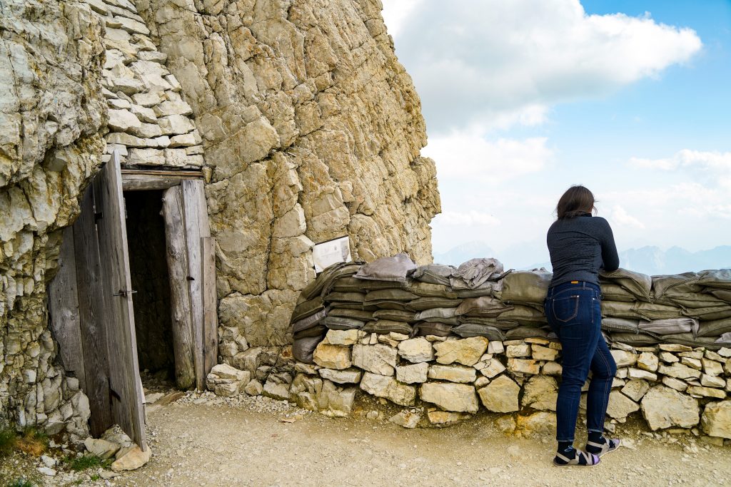
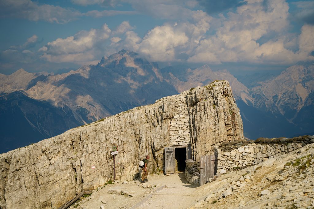
Now the Lagazuoi front made up 5 mountain peaks including Lagazuoi itself- Austria held the summits. This mountain in particular was strategic for Italy because of the natural and large ledge below the summit known as the “Martini Ledge.” Italy had numerous encampments across the way in the 5 tower region (Cinque Torri and Mount Averau) so they could supply the ledge. Seeing as there was no way to attack Austria at the top, the only way to win was to lodge mines under the enemy army.
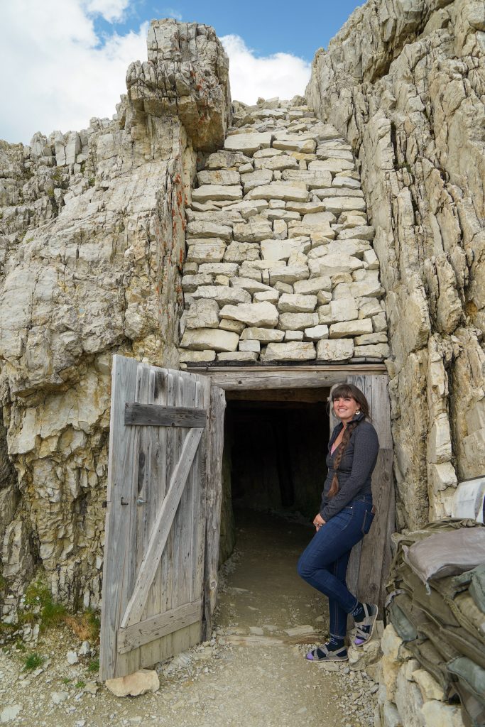
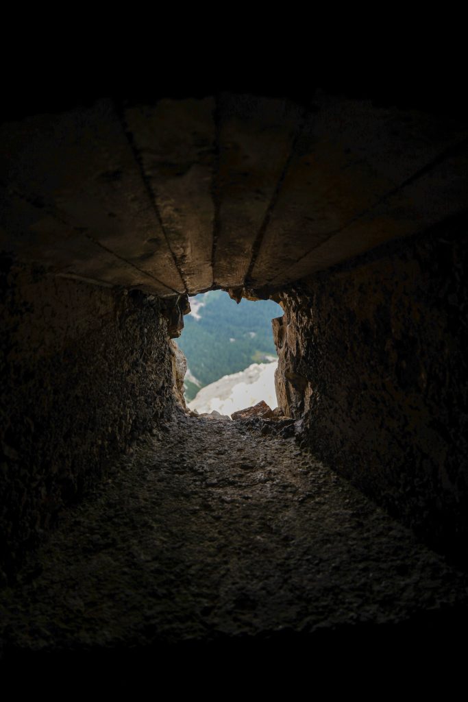
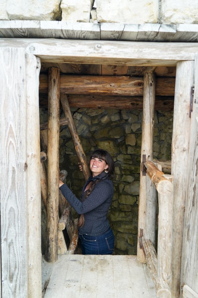
Both armies made strong use of tunnels for supply chains and shelters but Italy built most of the tunnels leading up to the summit on this mountain.. In the end, Italy suffered a horrible defeat in another Dolomite front and retreated from all positions in 1917. The tunnels, bunkers, huts, and pathways created through a very unforgiving terrain is unbelievable to witness.
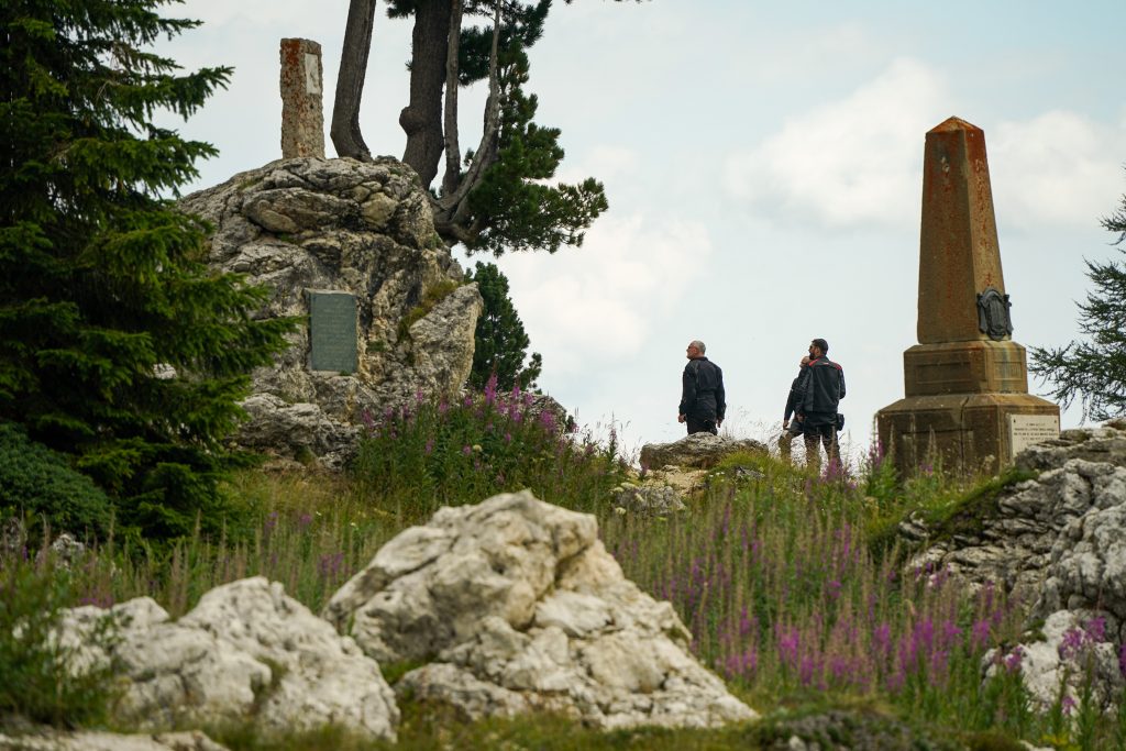
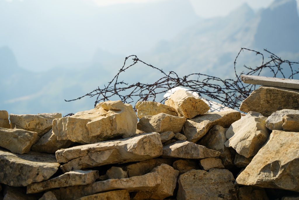
The Rifugio:
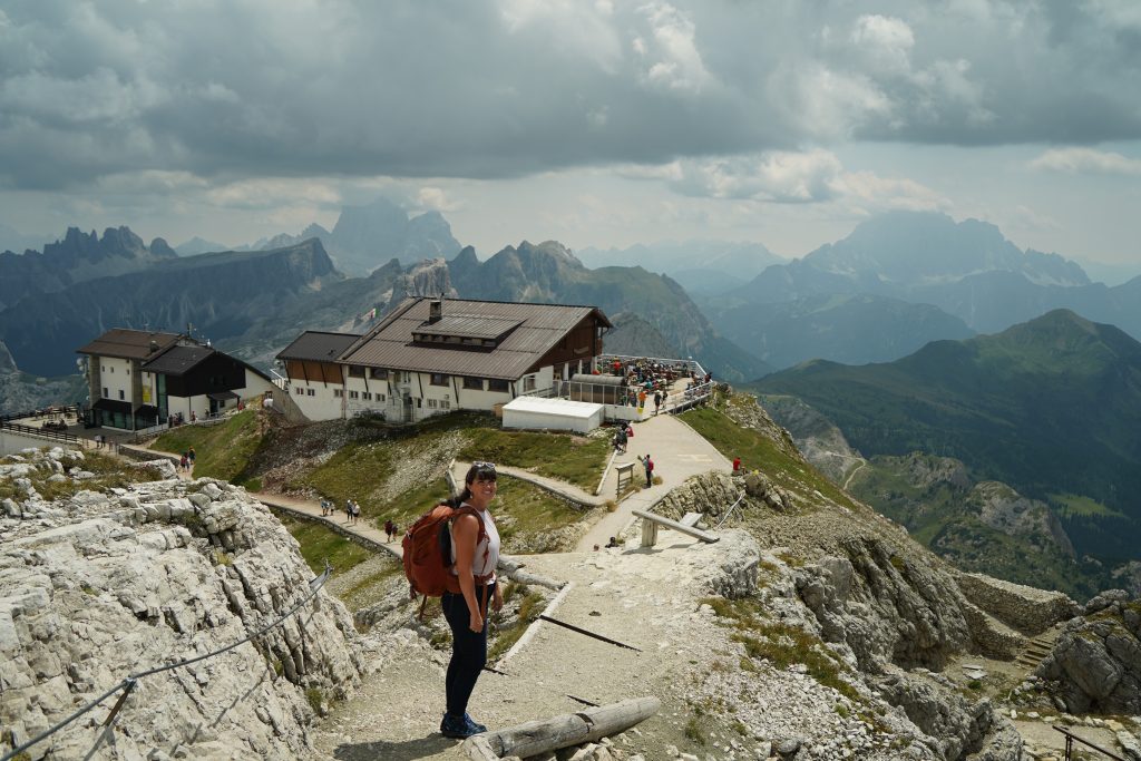
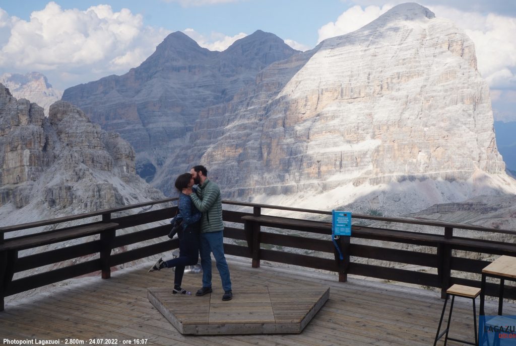
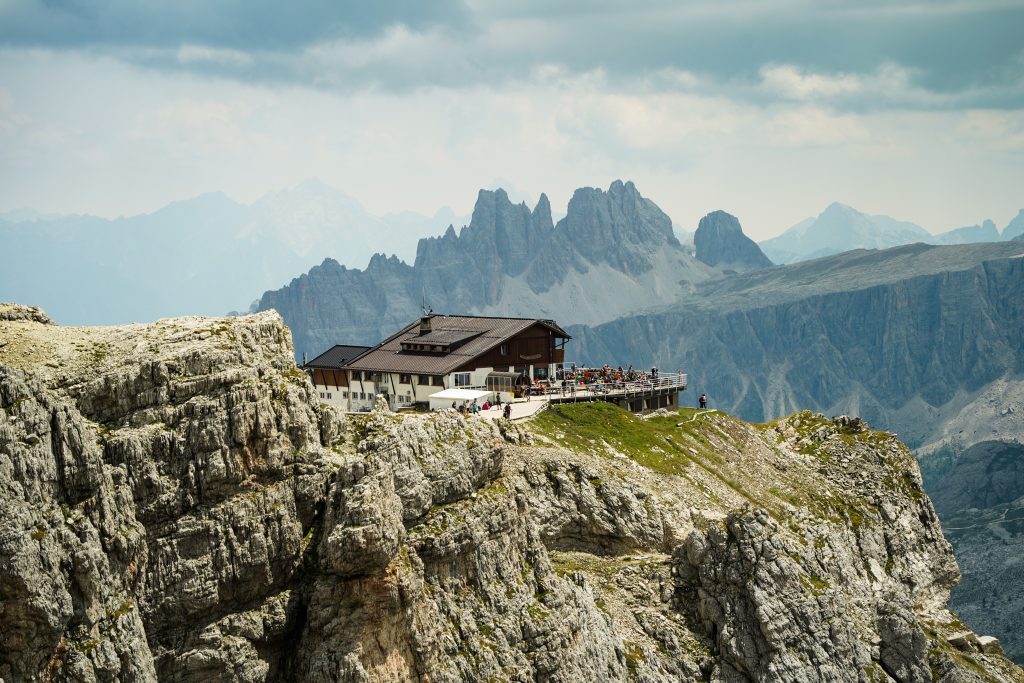
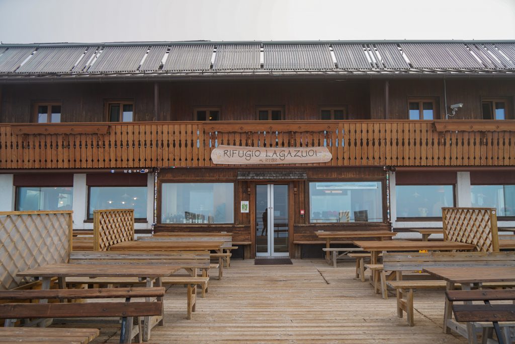
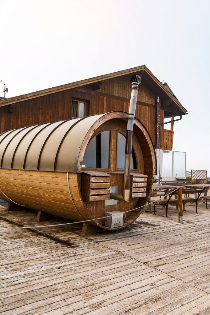
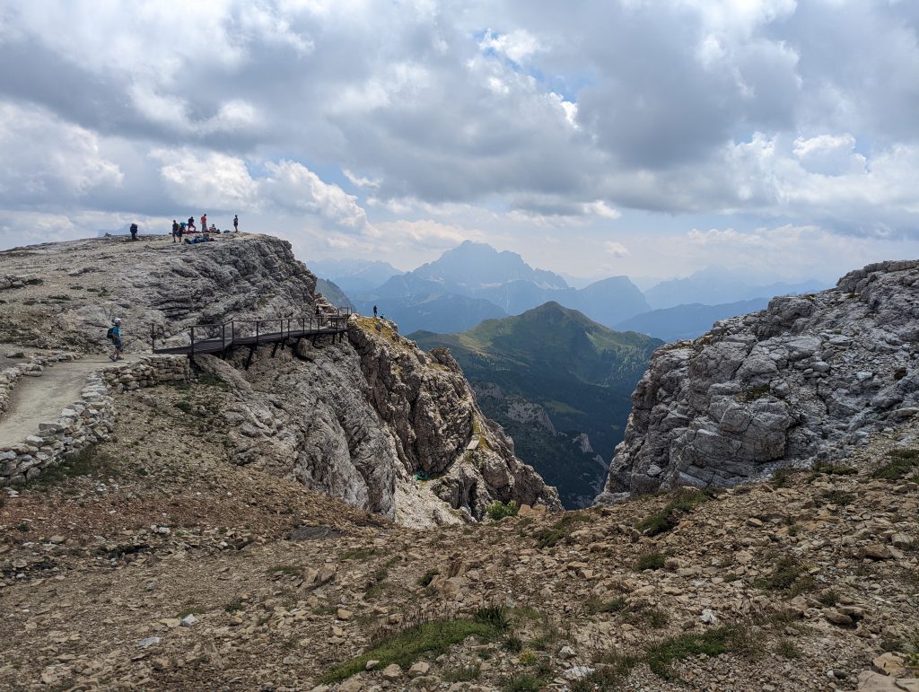
The location of this hut is incredible. It perches on the edge of a massive cliff face with valleys and other jagged peaks sprawled in the distance. It has easily one of the nicest decks for enjoying scenery and a great menu making it one of our favorite huts to visit. It’s also the largest and highest mountain hut in the Cortina area. Overall- another must visit and I highly recommend staying the night if you can.
Prices:
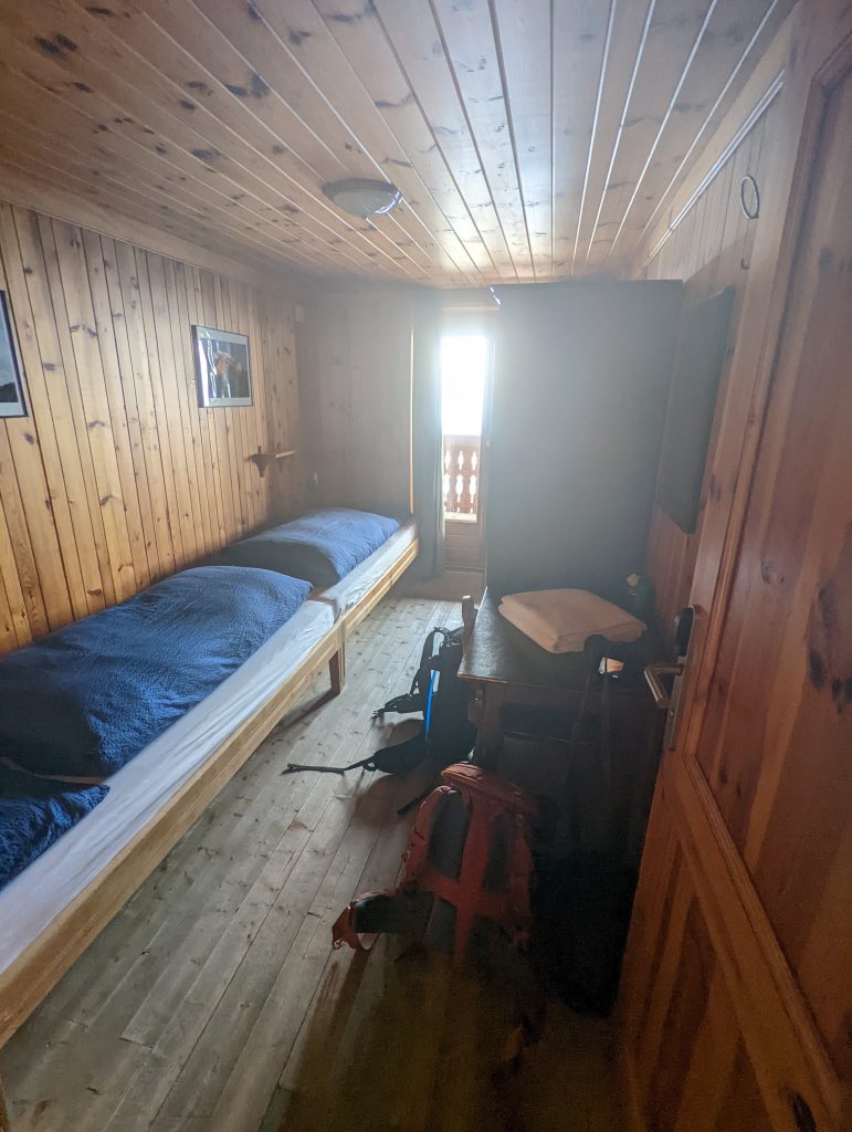
Prices are right around $60 per person in either the dorms or private rooms and includes breakfast in the price. Dinner is $30 for the half board option or you can choose a la cart for dinner. Drinks started around $7 for beers and the hut does accept credit card for easy payment.
For more information about this hut (and other huts in the area) check my post here:

Hike details to the Lagazuoi Summit from the rifugio
Distance: 0.8 miles RT
Elevation change: 125 feet
Difficulty: Easy
Time: 30 min RT
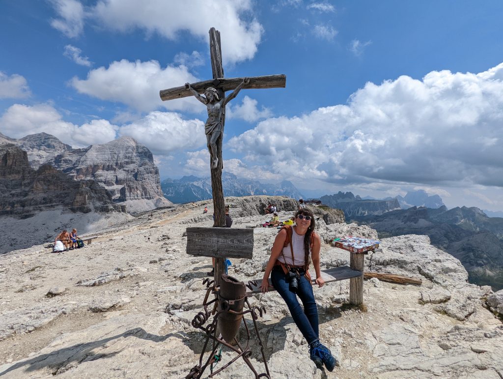
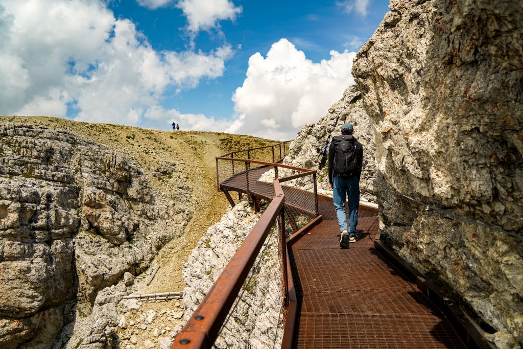
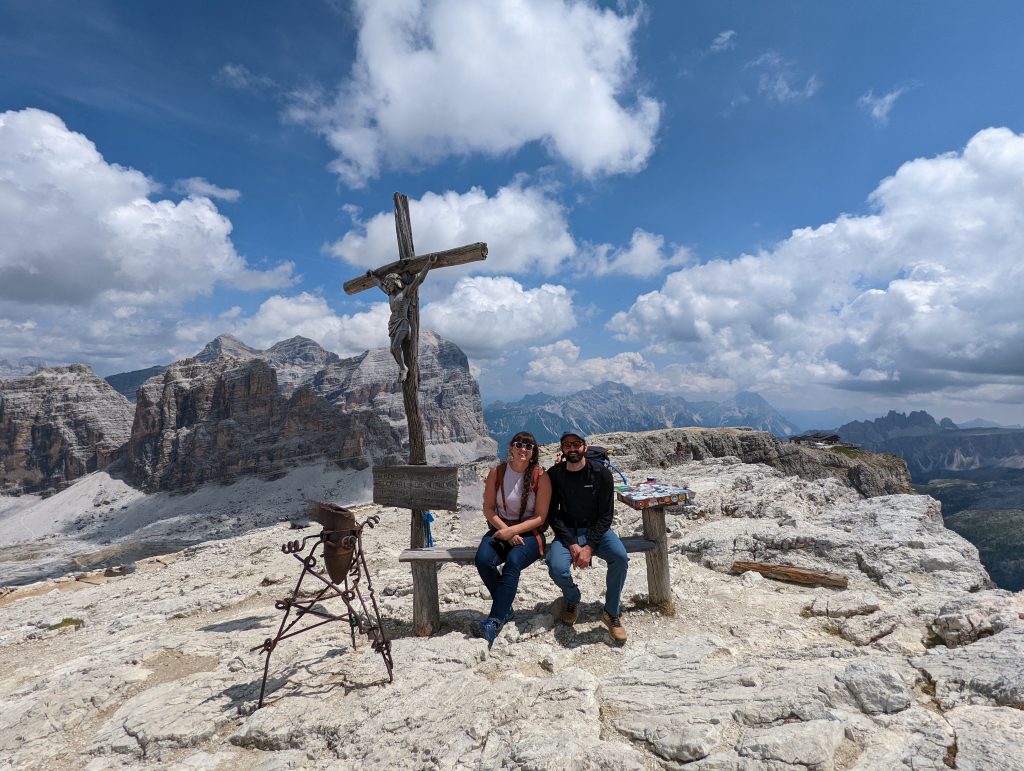
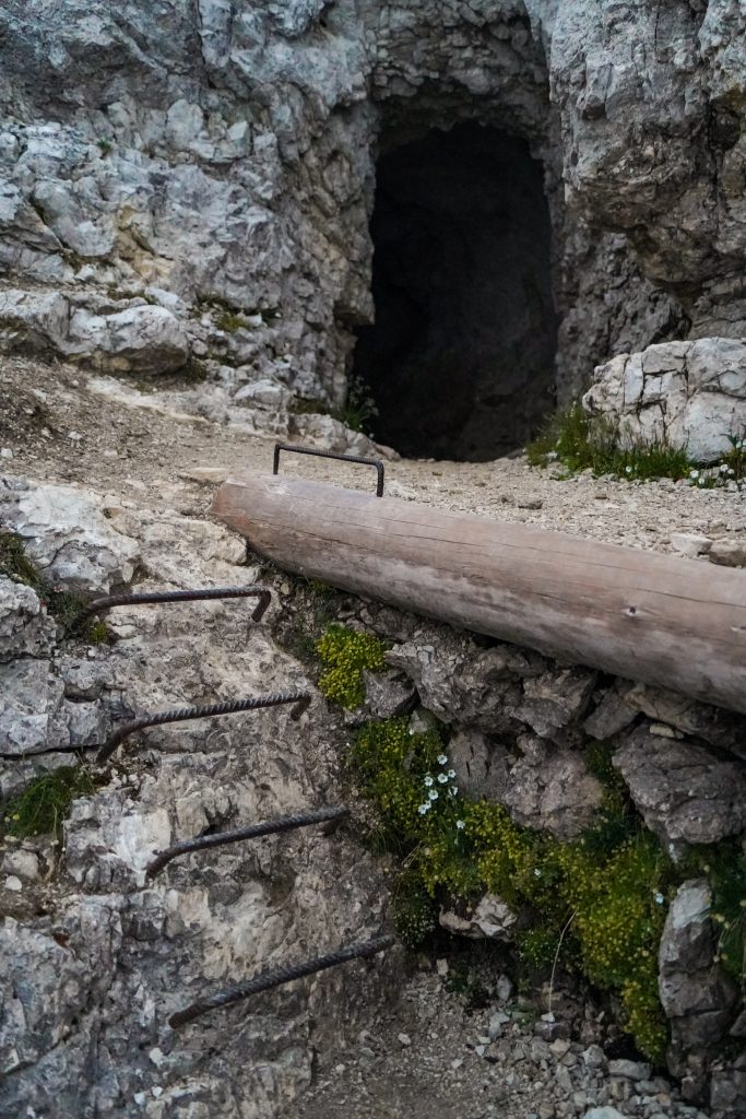
This trail is an easy walk from the hut to the true summit and cross. It offers very cool views of the hut below and a few tunnels and embankments from the war along the way. It’s also where you’ll want to head for the best views at sunset. At the trail split, take the left for an easier path and to see a small tunnel/ cave, and take the right for a bit more of a climb but cool views of the hut.
Hike details for the Lagazuoi Tunnels:
Distance: 1.5 miles one way from the Rifugio
Elevation change: 2,320 feet of descent
Difficulty: Easy- Moderate going down (depending on your knees)
Time: 2 hours one way down
About our experience hiking the tunnels:
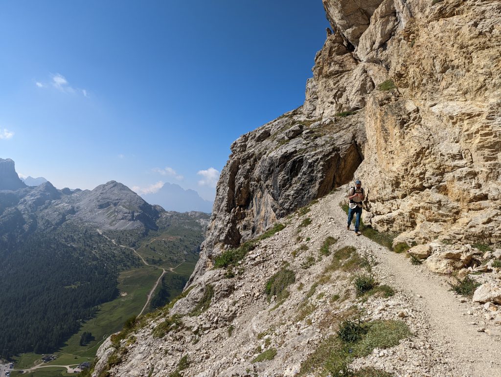
We started down the hike at about 9AM after having a great breakfast at the hut. The first part of the hike might actually be my favorite as the trail follows trenches and cliff bands. (side note, this trail like many in the Dolomites might not be great for people not found of drop offs) After about 20 minutes of mild descent, the trail enters the start of the long tunnel.
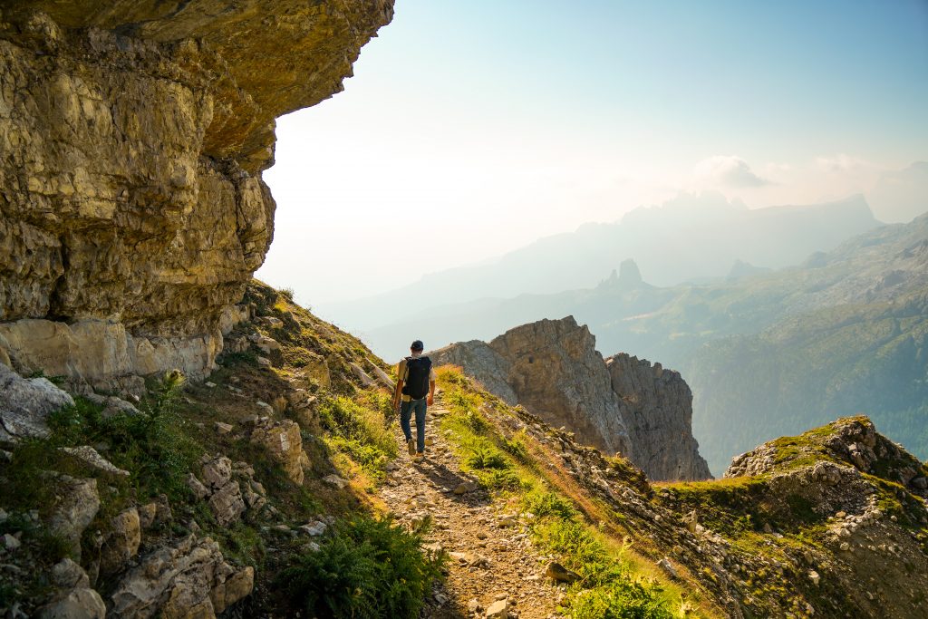
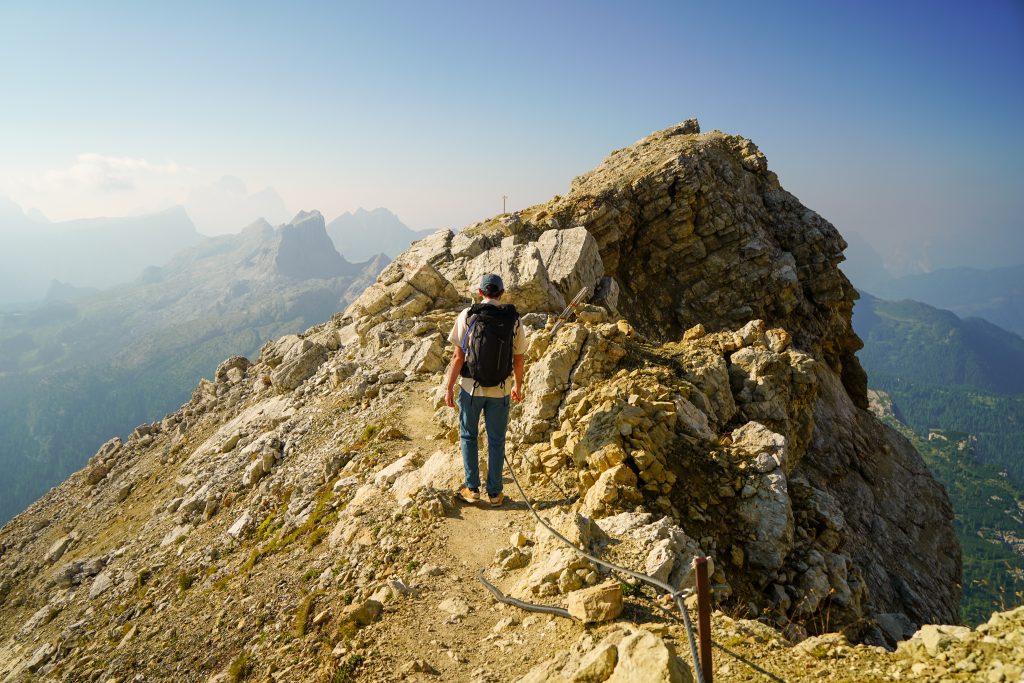
Battlements, cliffs, and trenches along the way to the start of the long “galleria”
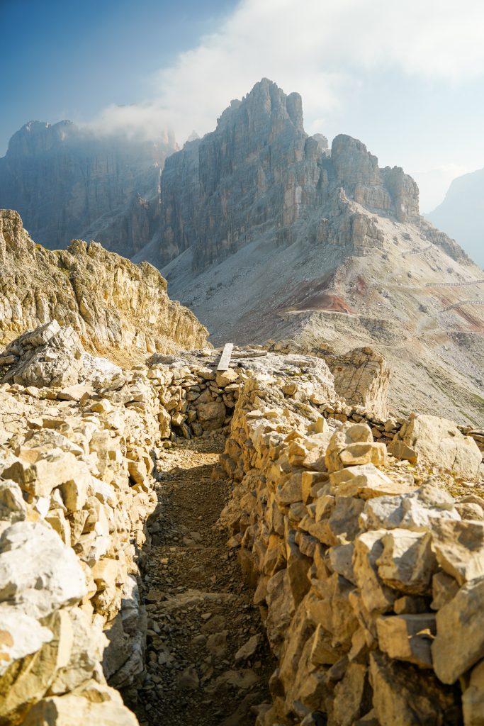
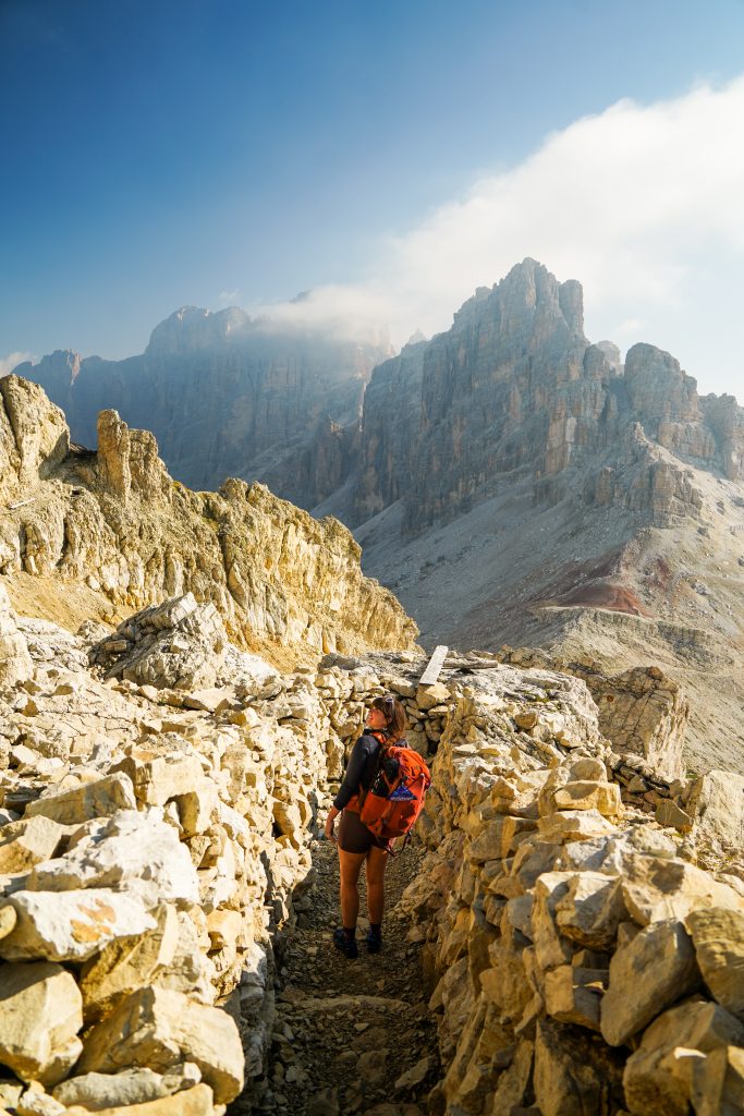
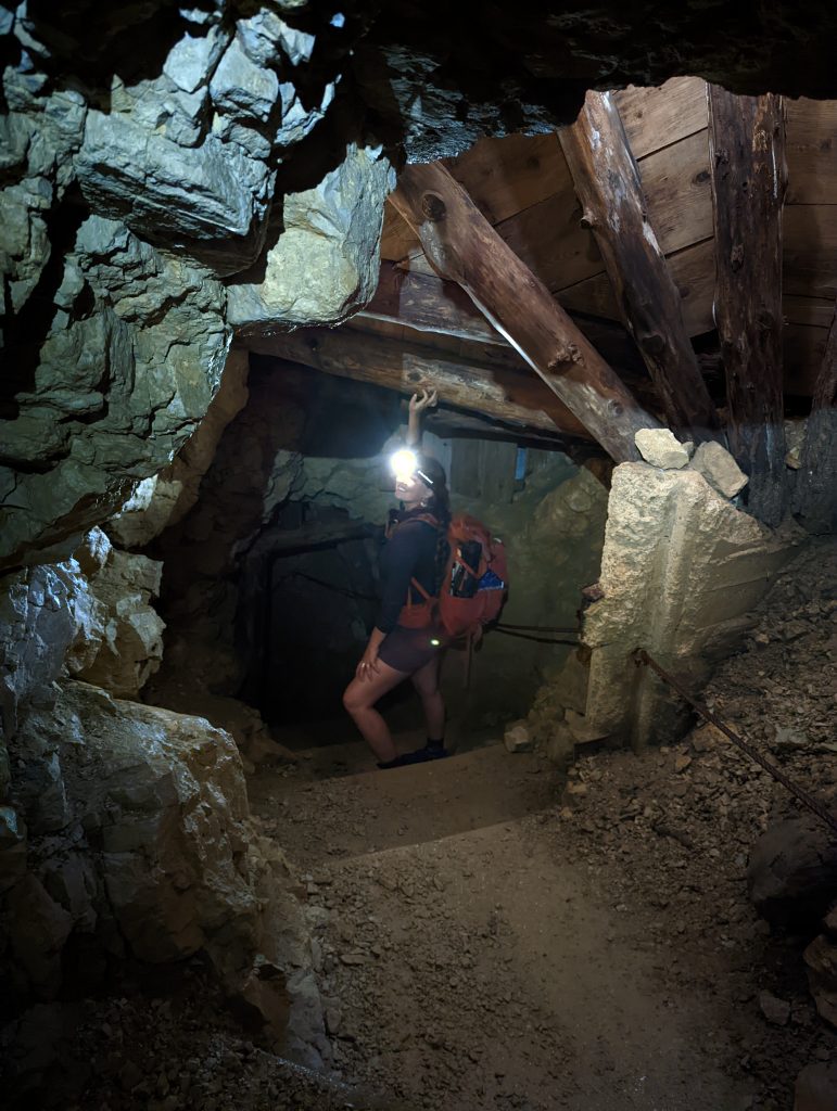
From there it is close to an hour of intermittent darkness. There is one spot not too long after the start where the tunnel forks. Either direction will take you down as they reconnect after a while. (If you really want to see it all, go down one of the forks and then back up the other, then back down which ever one is better)
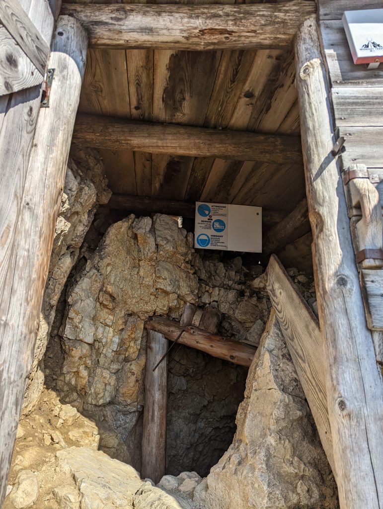
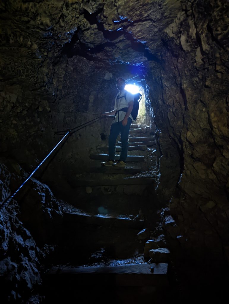
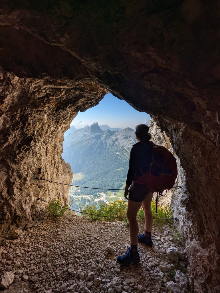
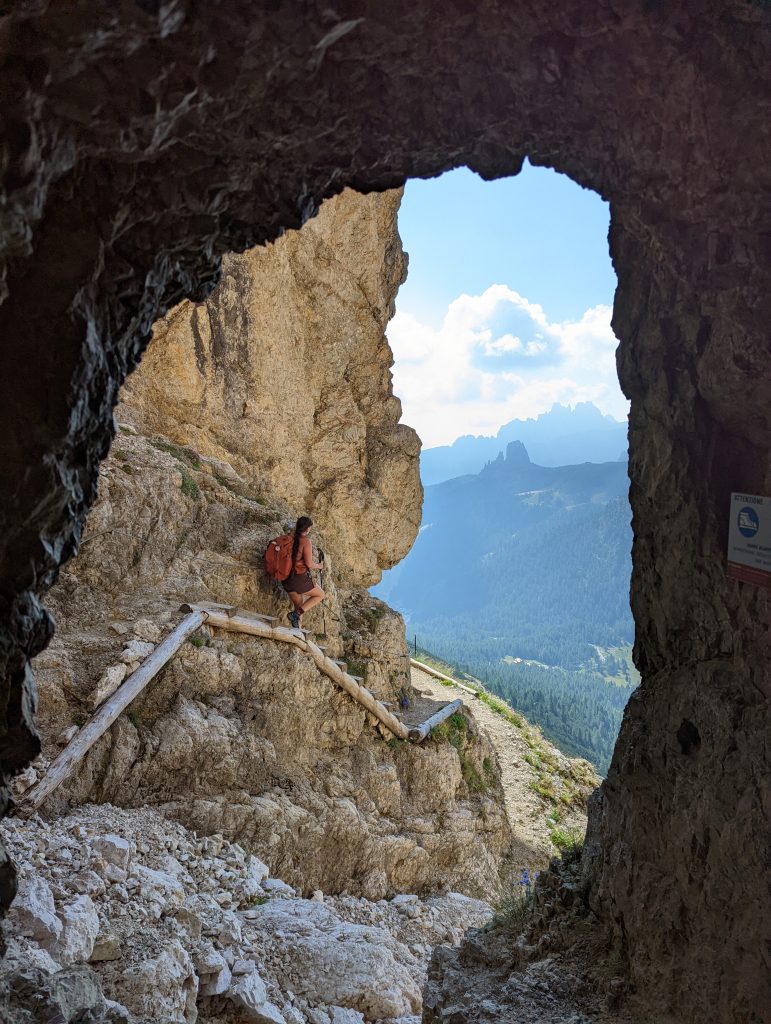
Along the way there are many small side tunnels, rooms, and windows ranging in size. Stop and check these out as you go as they can be really interesting. A lot of the side rooms have informational plaque that explain their purpose such as engine rooms (for the engine that dug the tunnel) anti mine tunnels, and bunk rooms! We tried to take in as much as we could but there is something about being in the dark that makes one…. hurry.
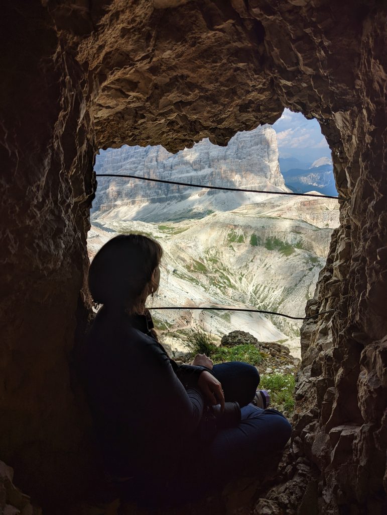
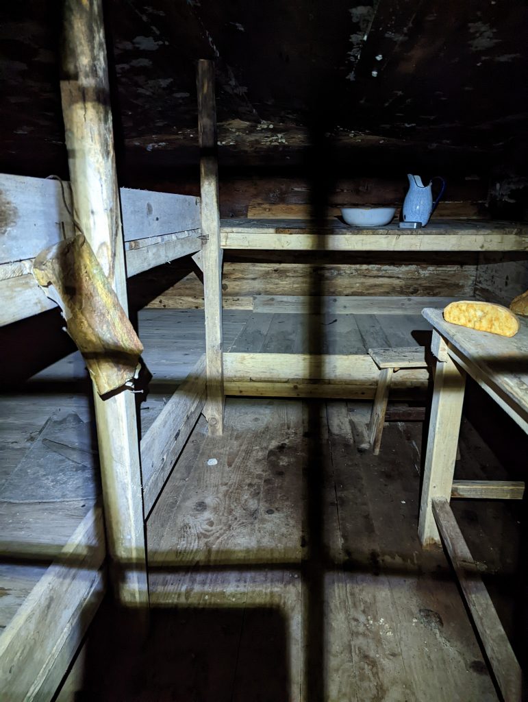
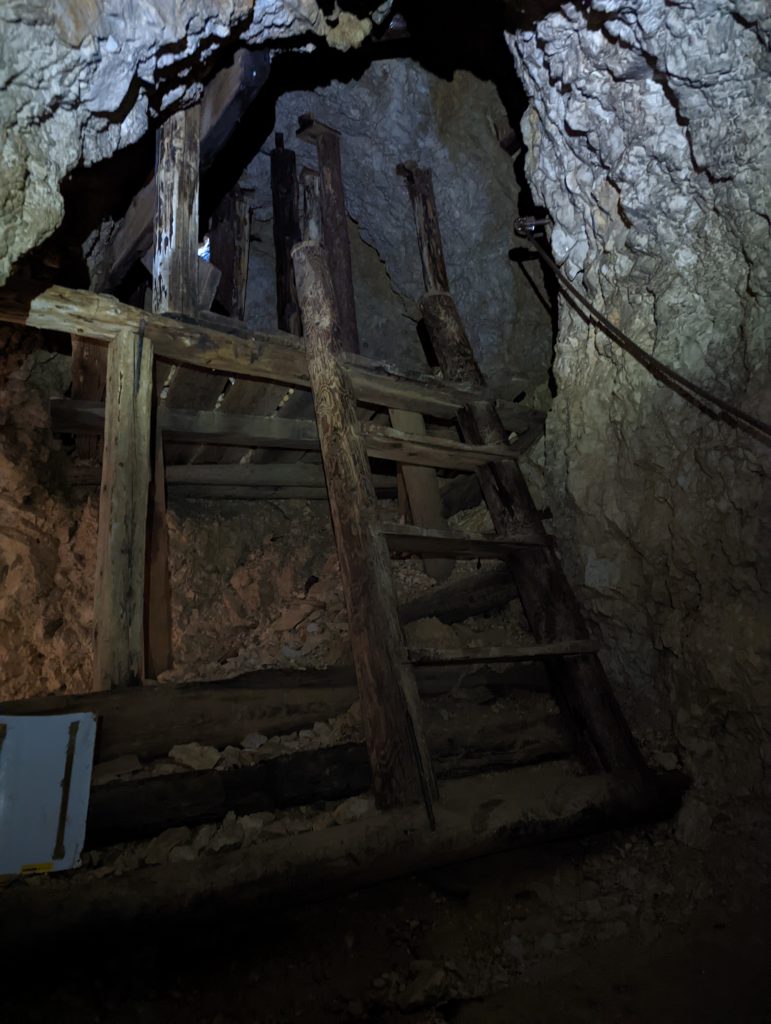
It must also be said that the tunnels are winding steep staircases. The stairs are uneven and sometimes the ceiling is really short. For that matter I preferred to go down backwards like climbing down a ladder. There’s a steel cable that runs much of the way that I used for support and this way I avoided bumping my head and/ or blowing out my knees on all that descent. There were several minutes at a time where it was so dark, if we turned off our headlamps we couldn’t see our hands touching our noses.
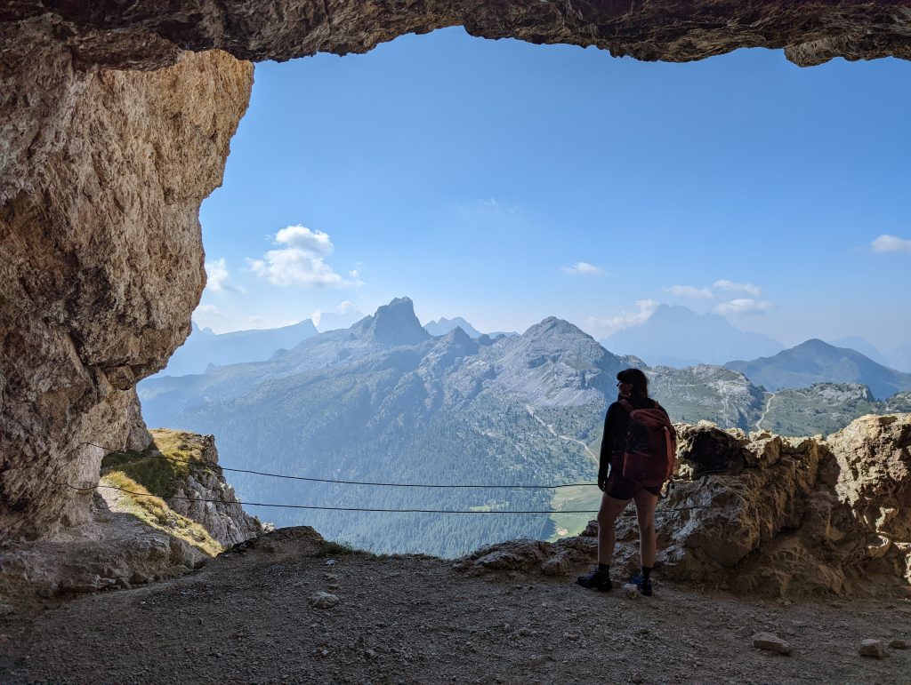
The tunnels were really unique, and we couldn’t imagine the soldiers who built, lived, and fought in these tunnels. Finally, after a tunnel that seems to go on forever, you reach the famous Martini Ledge. Unfortunately, we didn’t bring via ferrata gear- if you do you can explore a lot more of the “open air museum” that is the Martini Ledge. (It was also known as a hanging city for it once housed 140 men plus provided kitchens and many necessities for the whole mountain) Without the proper gear, we continued down the main trail through a few more short tunnels and steeply dropping off trail sections.
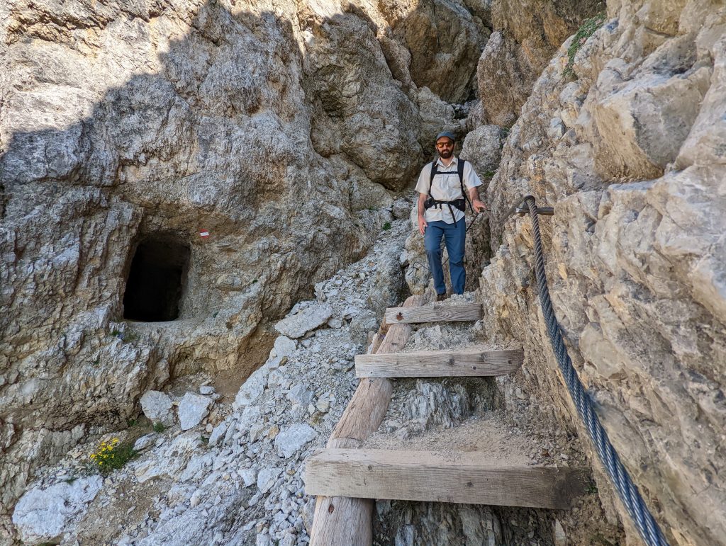
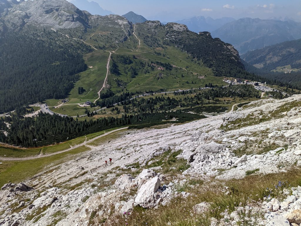
The final portion of trail is just a series of steep switchbacks through fields of shale (a lot of which is actually there from blasting and artillery fire on the mountain) The cable car station/ parking lot is easily visible and easy to navigate to on trails 401/402. Even without a map, it was easy for us to find our way.
For more photos visit my Sunset and Sunrise Impressions from Mount Lagazuoi post.