Trail Guide to Blue Lake in the North Cascades

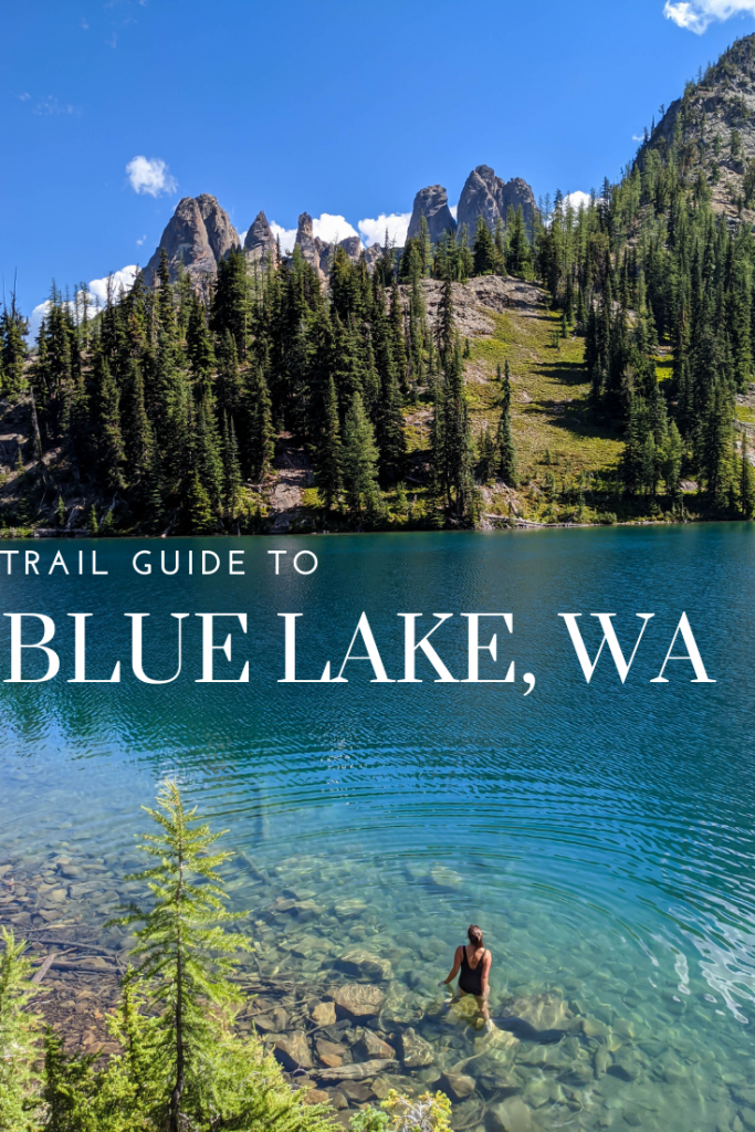
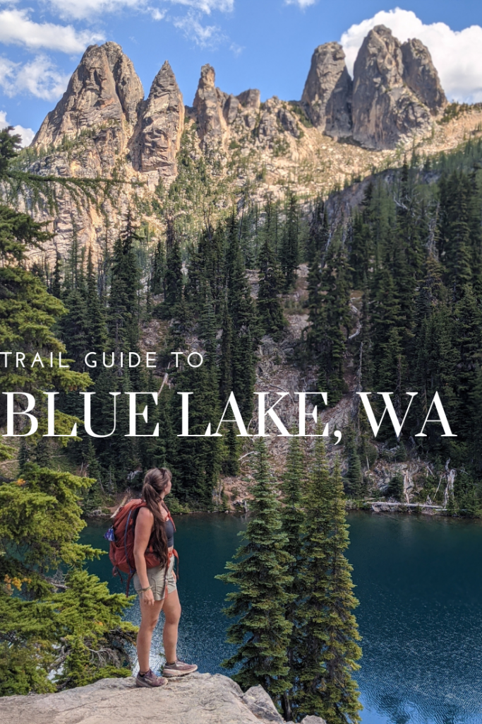
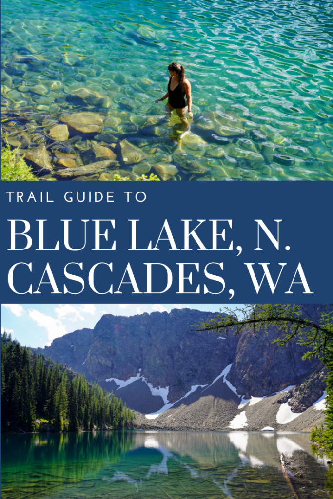
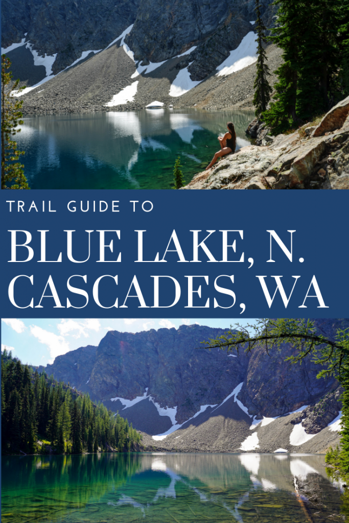
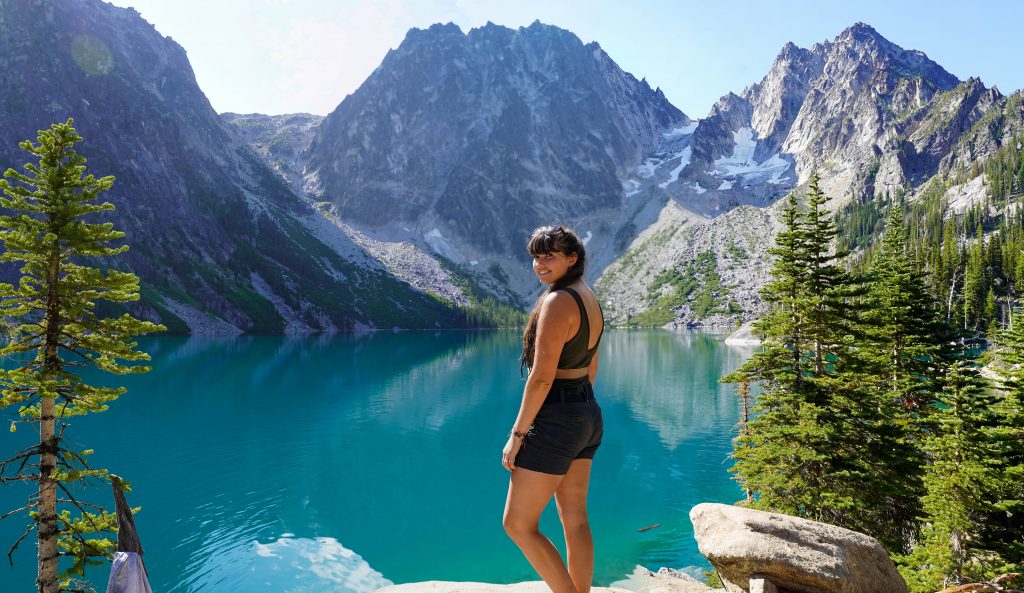
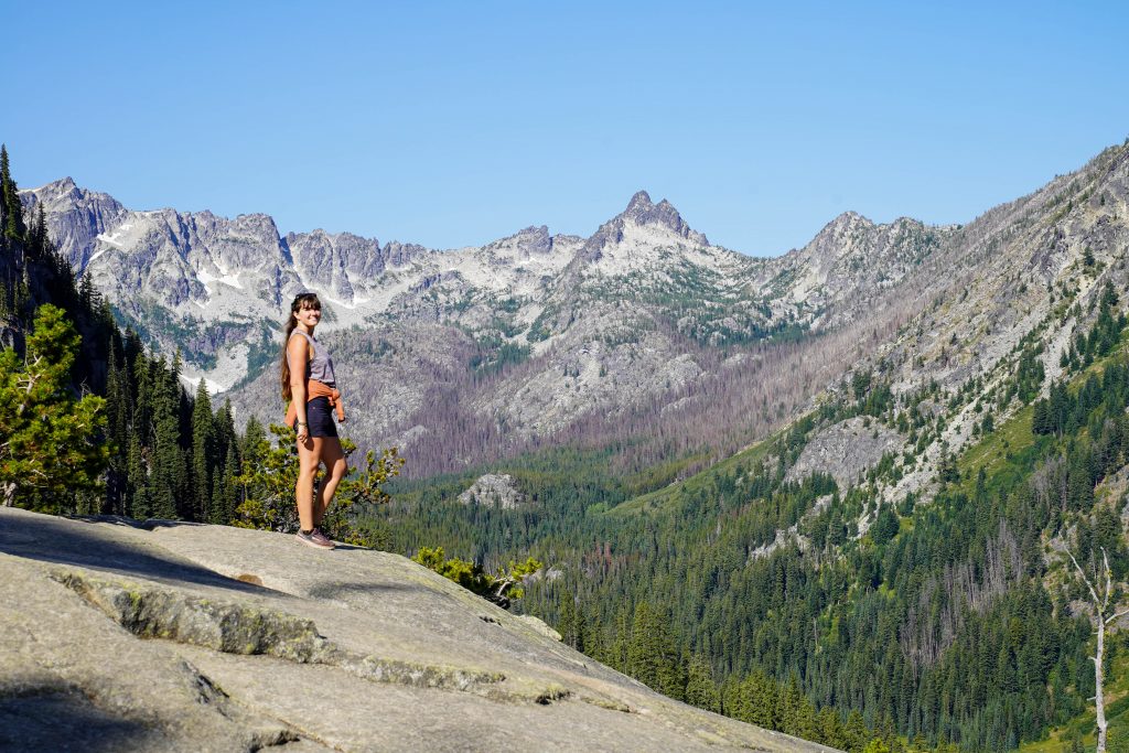
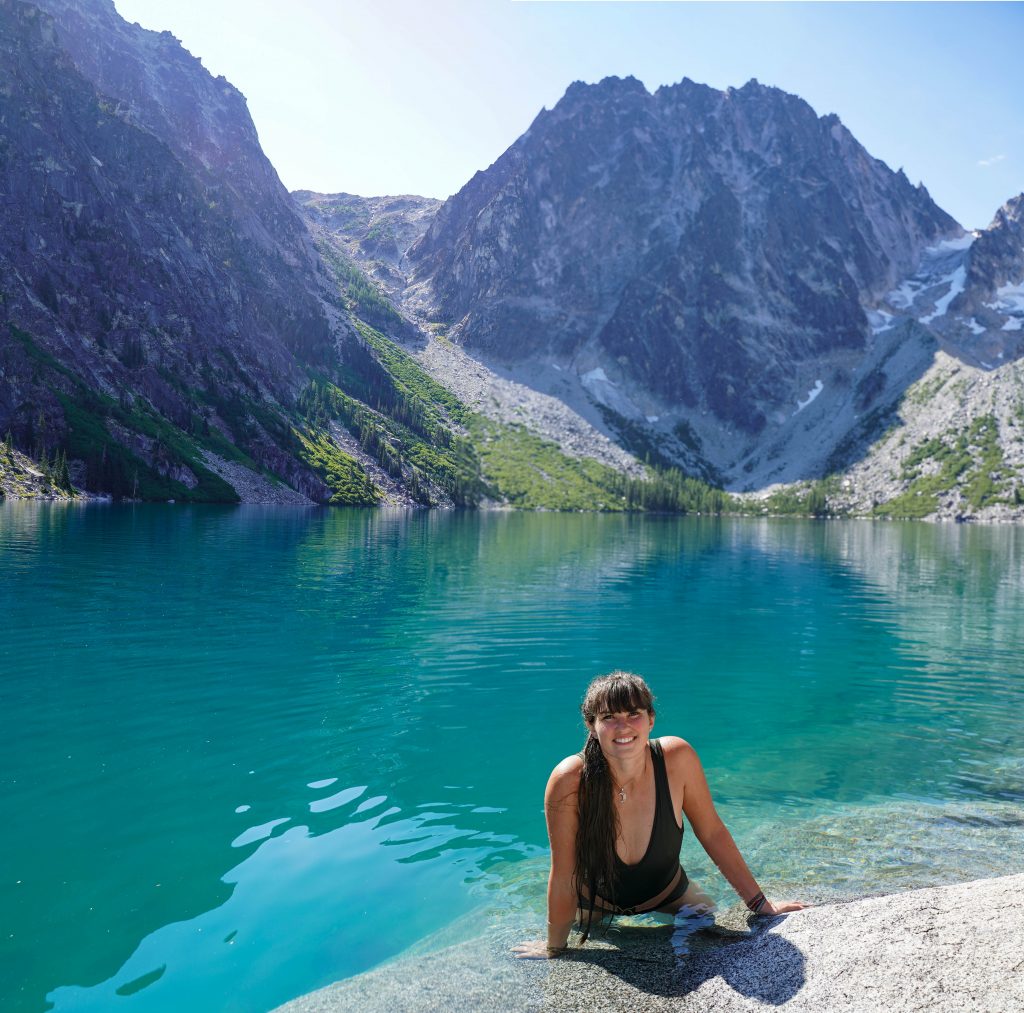
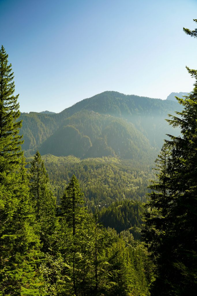
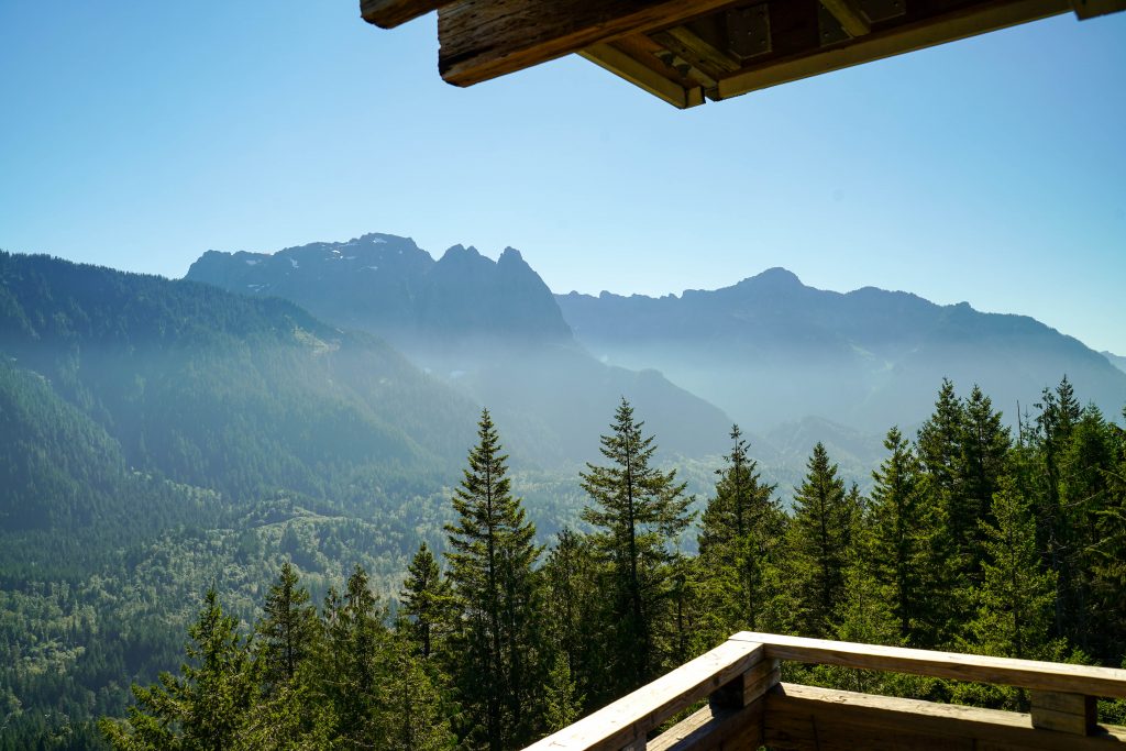
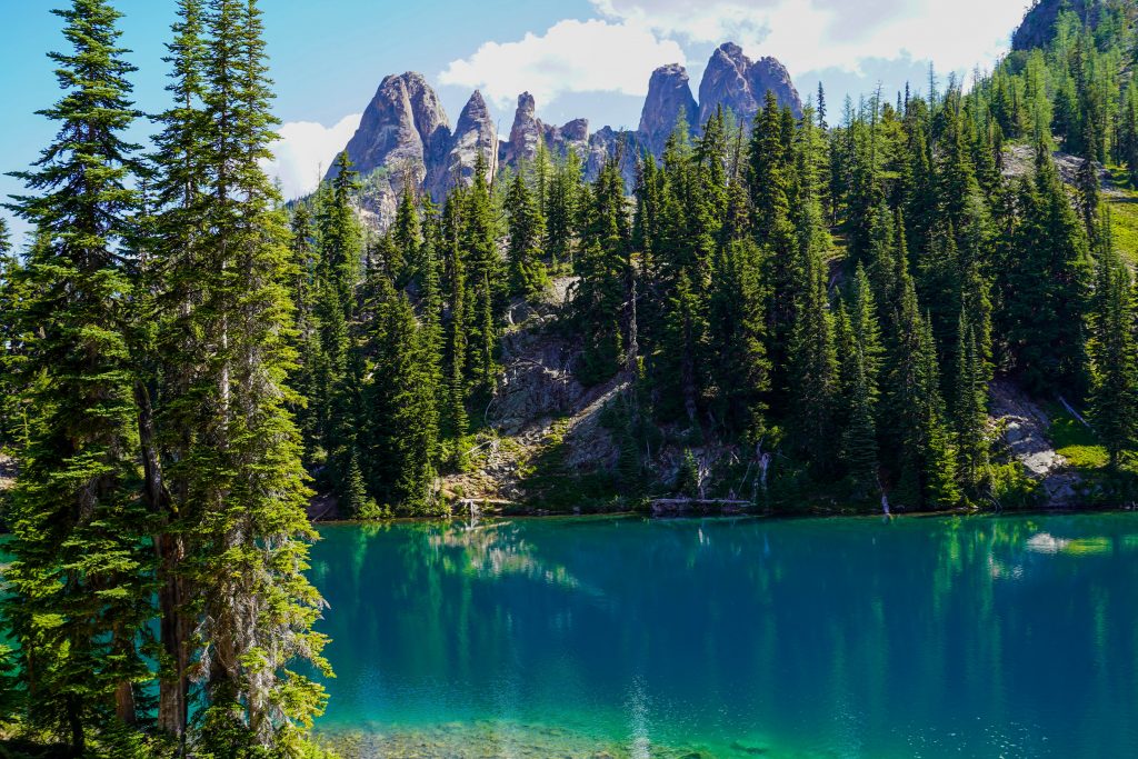
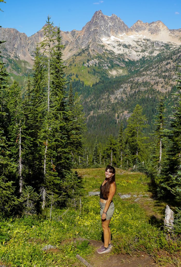
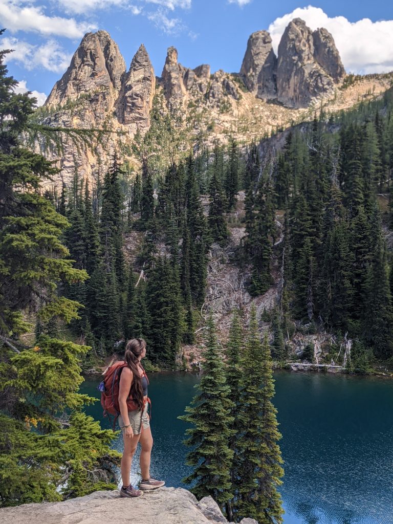
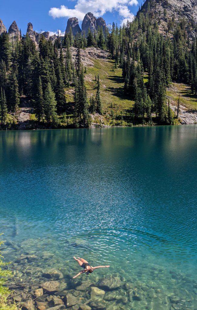
Washington is definitely the land of stunning alpine lakes, and Blue Lake is numbered among 1 of the must dos. It’s great for families or adventurers just looking for a shorter time out. While it’s definitely still a bit of a work out, the switchbacks are all excellently graded and the overall length is short and sweet. The lake at the end is stunning and I particularly couldn’t get enough of the surrounding mountain peaks and spires of the North Cascades. You can also swim in this lake but be warned… it’s REALLY cold even by my standards.

Trail Details: 

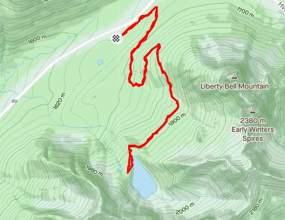
Distance: 4.8 to the lake. (Add 0.5 if you do the upper loop add on)
Elevation Gain: 900 feet
Time: 2-3 hours
Difficulty: Easy/ Moderate
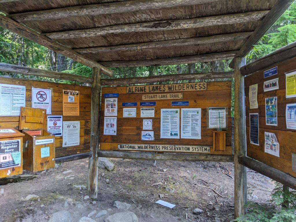
Fees: $5 cash fee at trailhead or display you NPW forest pass/ National Parks Pass to cover the fee.

Trail head Directions: 

The trailhead for Blue lake is just off of HWY20. If you are coming from the East (Winthrop) the trailhead will be just 1 mile on your left past the Washington Pass overlook (which is on your right and another worthy stop) If you are travelling from the West, the trailhead will be on your right about 4 miles past the Rainy Pass TH. 
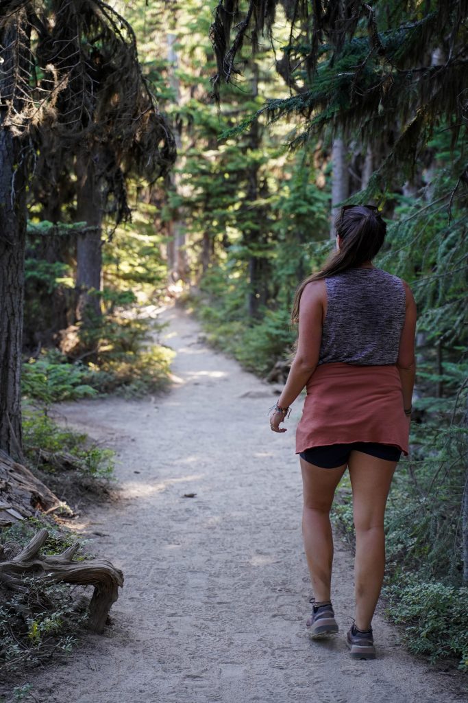
Trail Description:

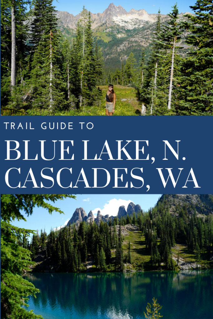
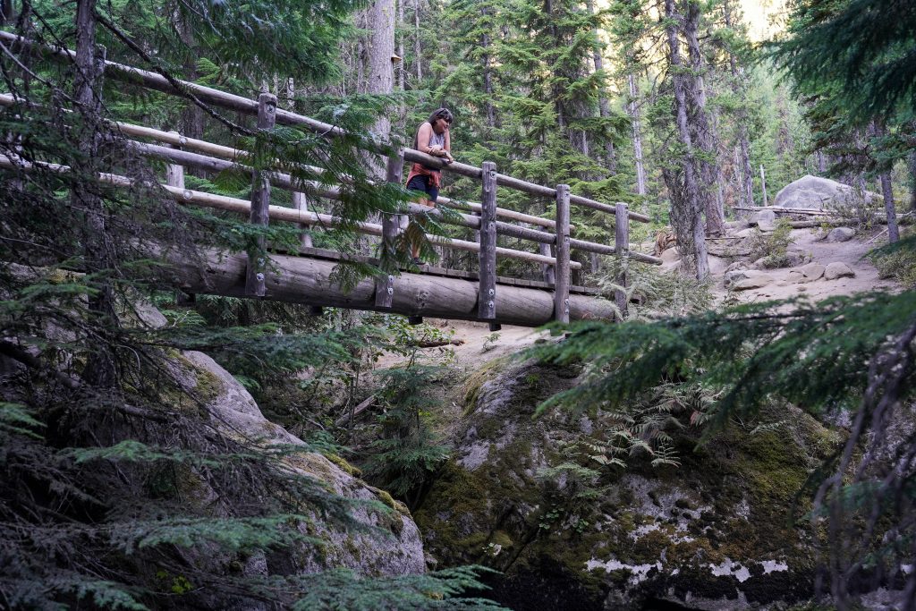
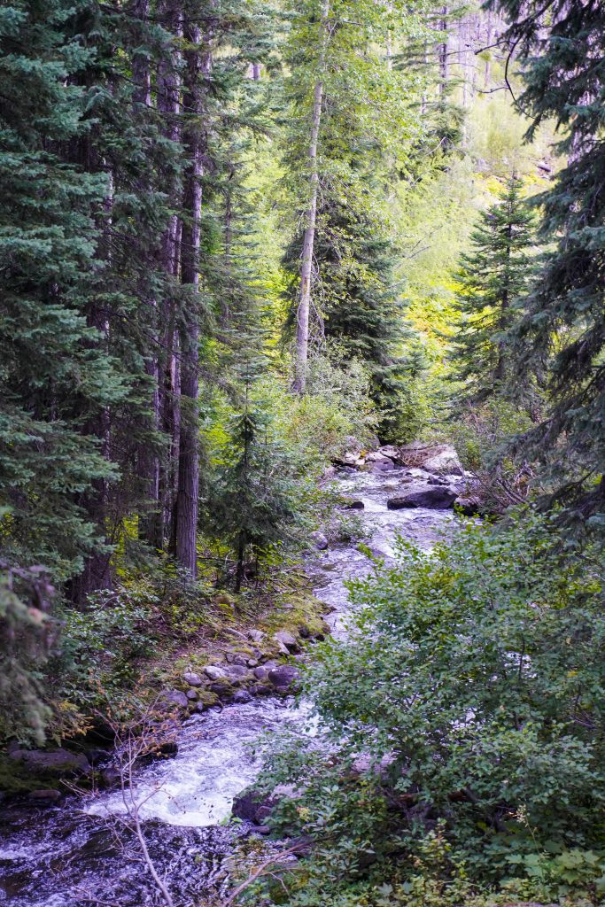
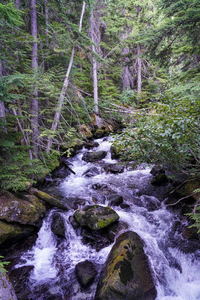
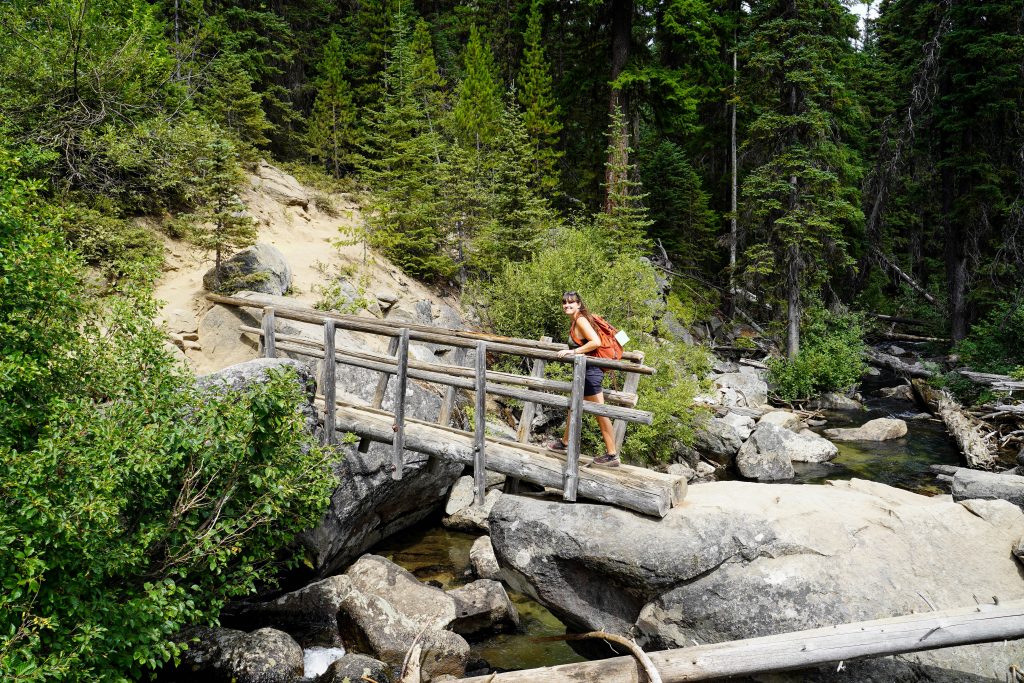
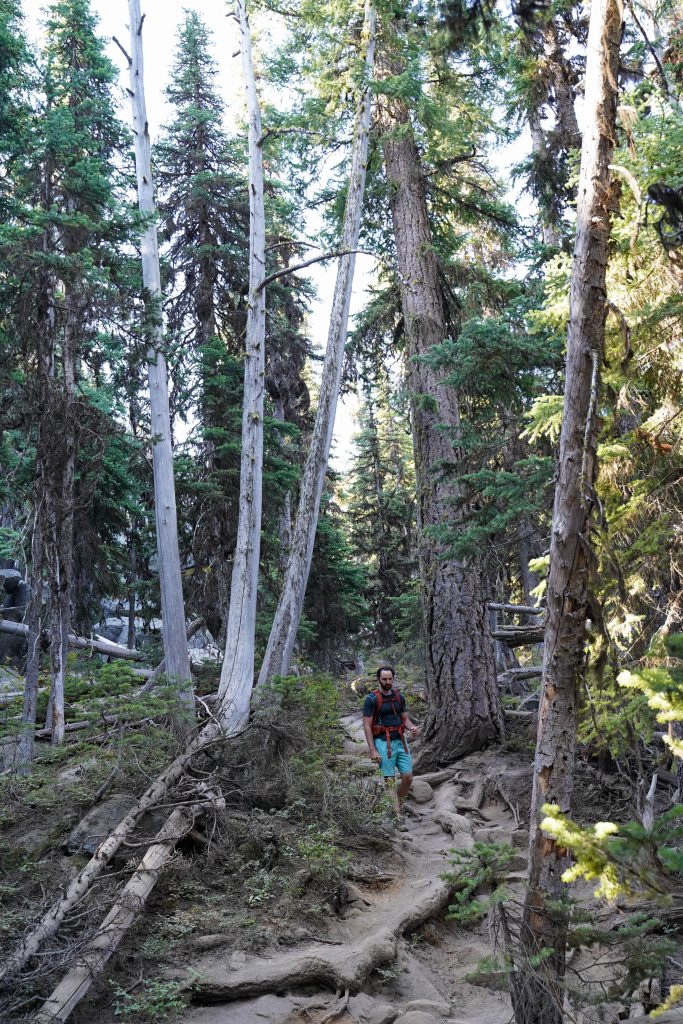
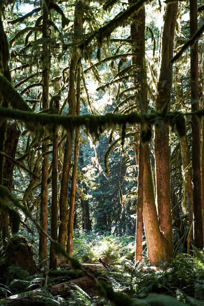
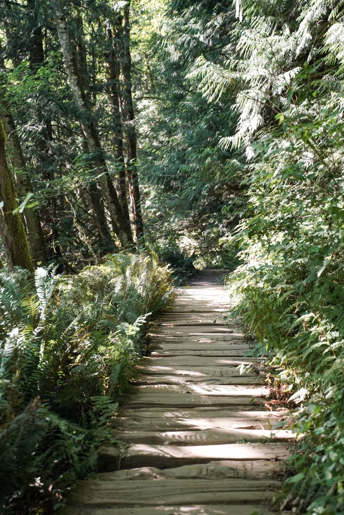
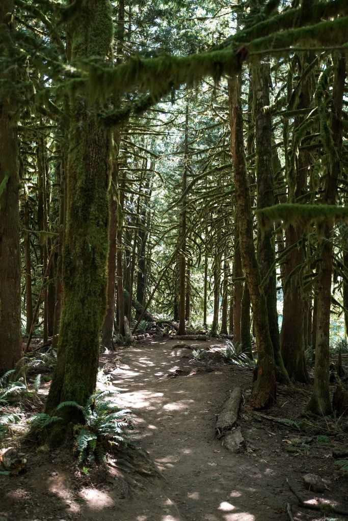
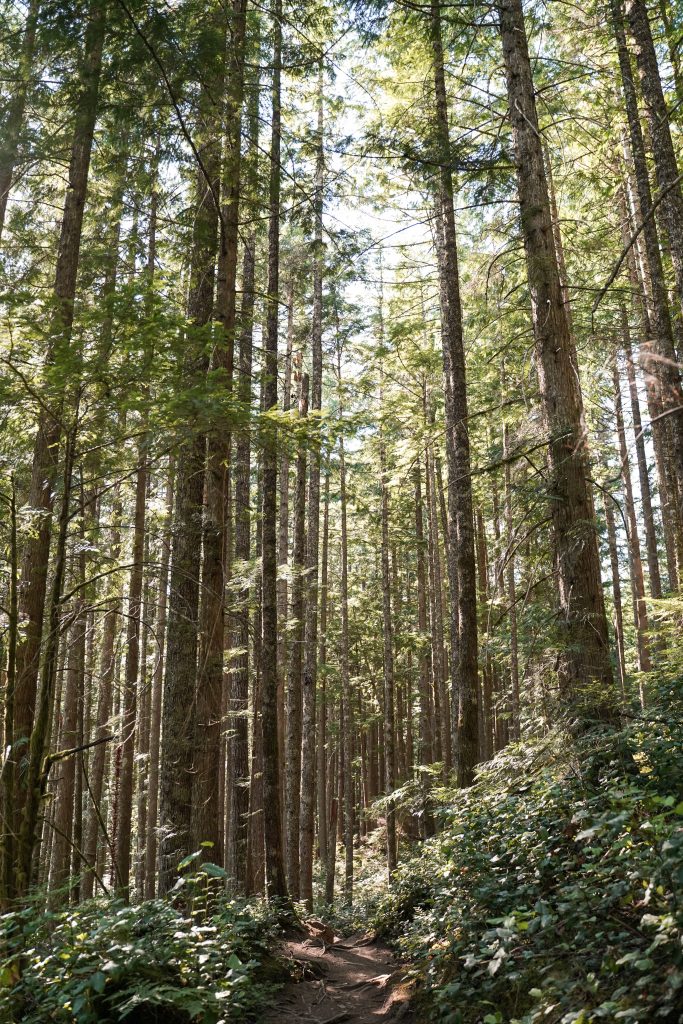
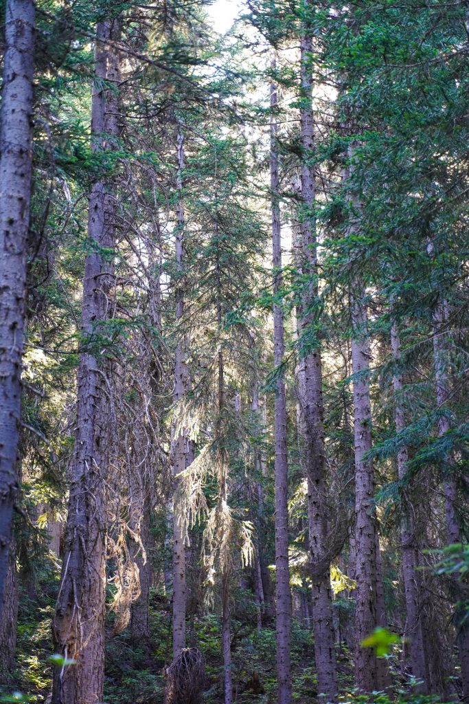
From the brown house potties and trail head marker, follow the trail back into the trees. It will follow the road a short ways before veering to the right and beginning switchbacks up the hill. 

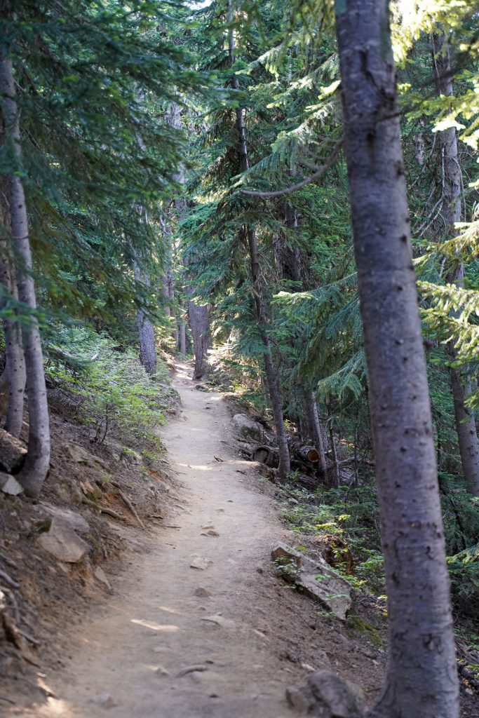
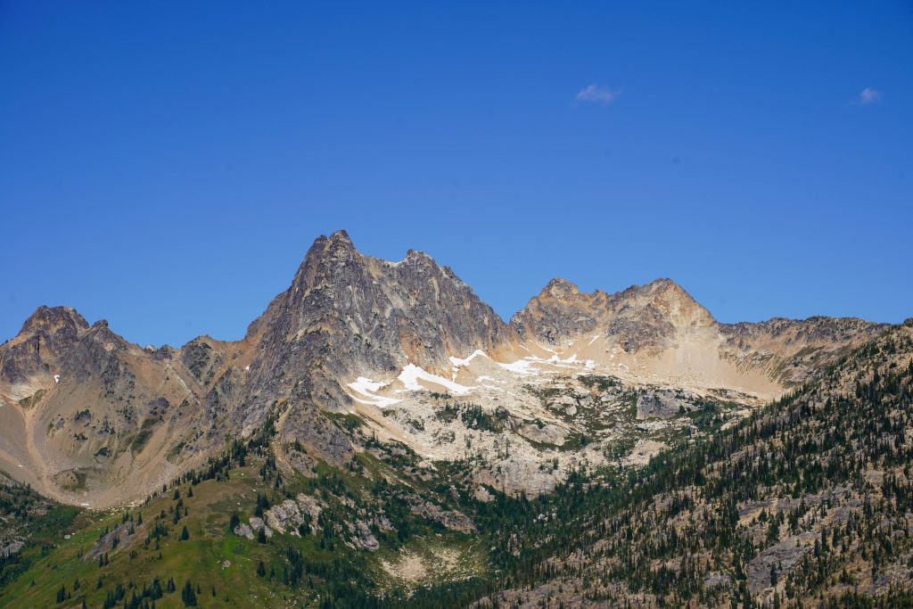
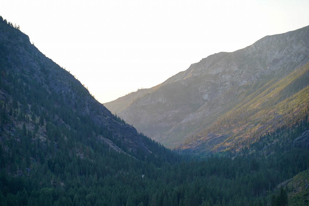
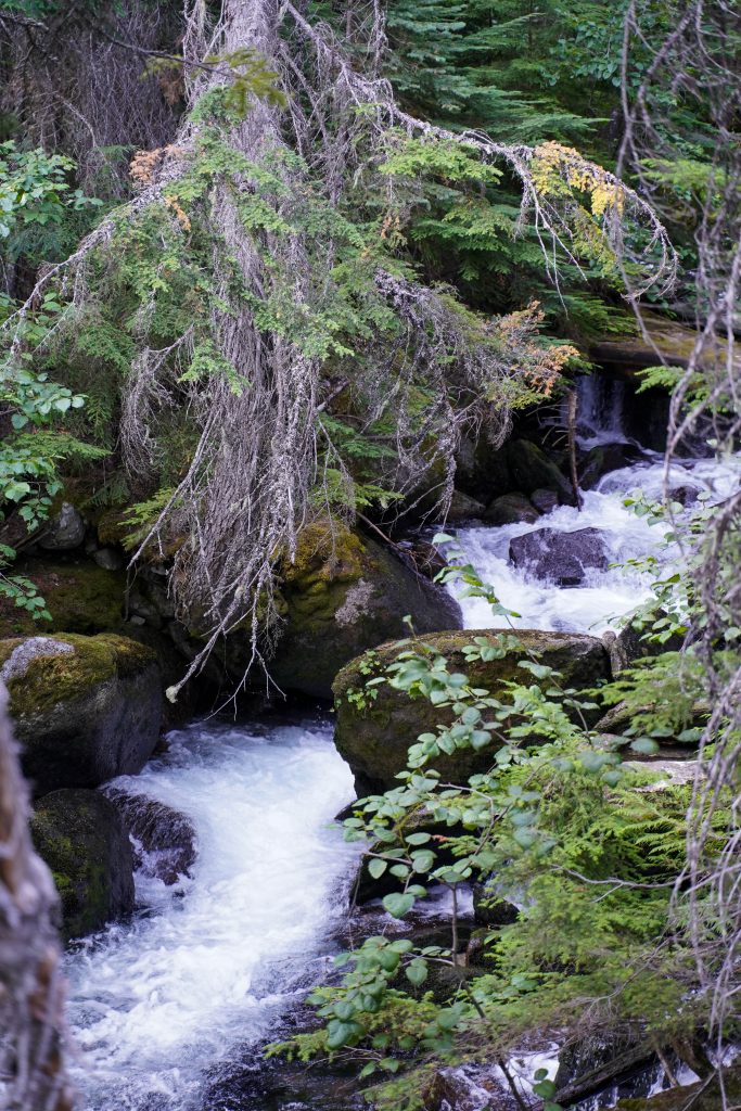
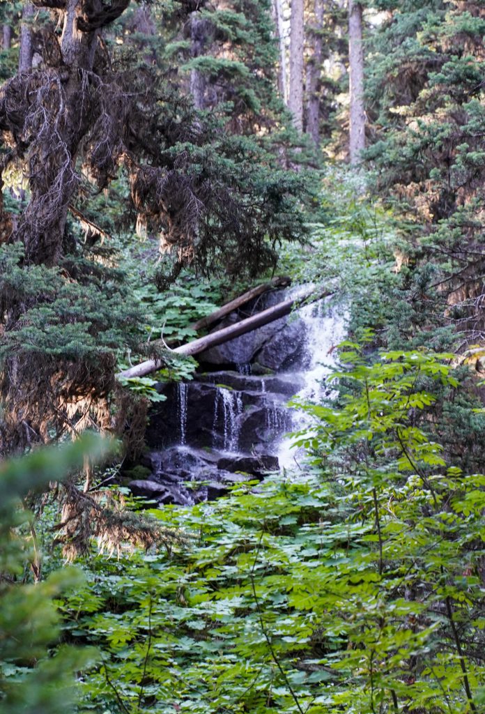
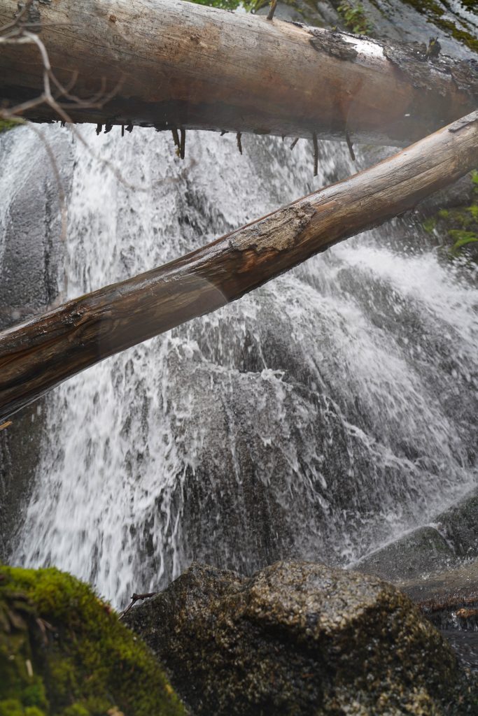
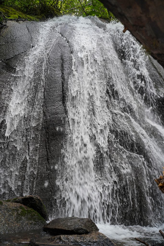
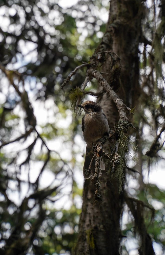
The switchbacks are very long but even out the trail nicely so the elevation gain is less noticeable. As you climb higher you’ll start being able to see incredible mountain peaks through gaps in the trees and even the start of some high alpine wild flowers. Eventually the trail comes near a little creek and heads straight up alongside it. This is when you are almost there! 
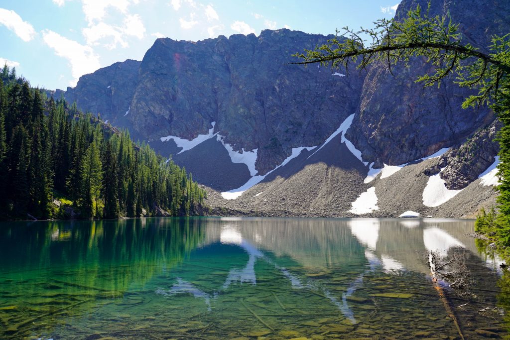
Once you reach the lake, you’ll come to a fork. Continue left to stay long the shore and even when the trail looks like it ends- continue through the rocks and you’ll find even more peace and quiet without the crowds. 

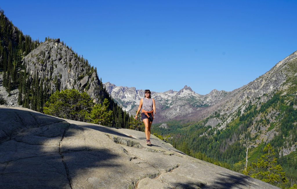
If you want to extend your hike a little and get great views down onto the lake, take the right fork and follow it a short ways up. The trail to the right loops around in a 0.5 mile loop or you can just retrace your steps after getting a good view back to the main trail which you follow the same way down. 

A note on crowds:

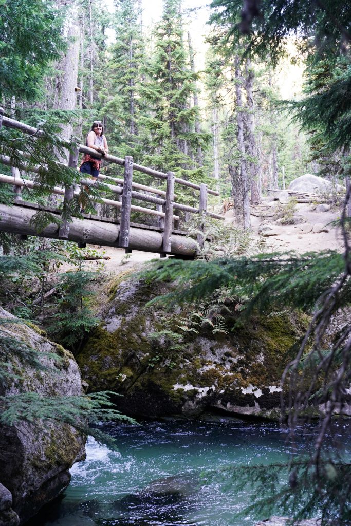
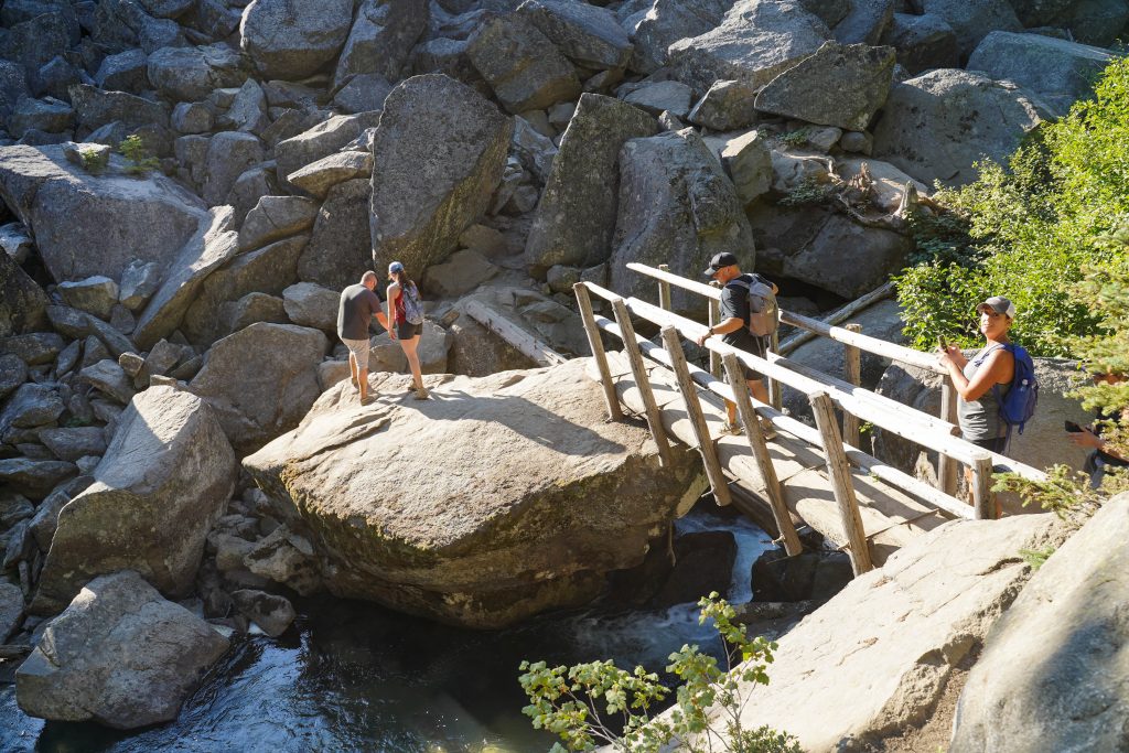
This hike can and will get busy as it is one of the best known short trails in the North Cascades National Park. There is extra parking allowed on the road but be safe as it is a highway. We started hiking around 1 on a Monday and there was ample parking in the lot and the while we certainly saw people on the trail and around the lakes- it never felt crowded. So a weekday if you can is best.

A note on swimming

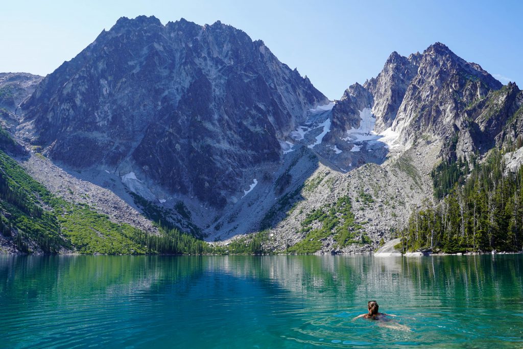
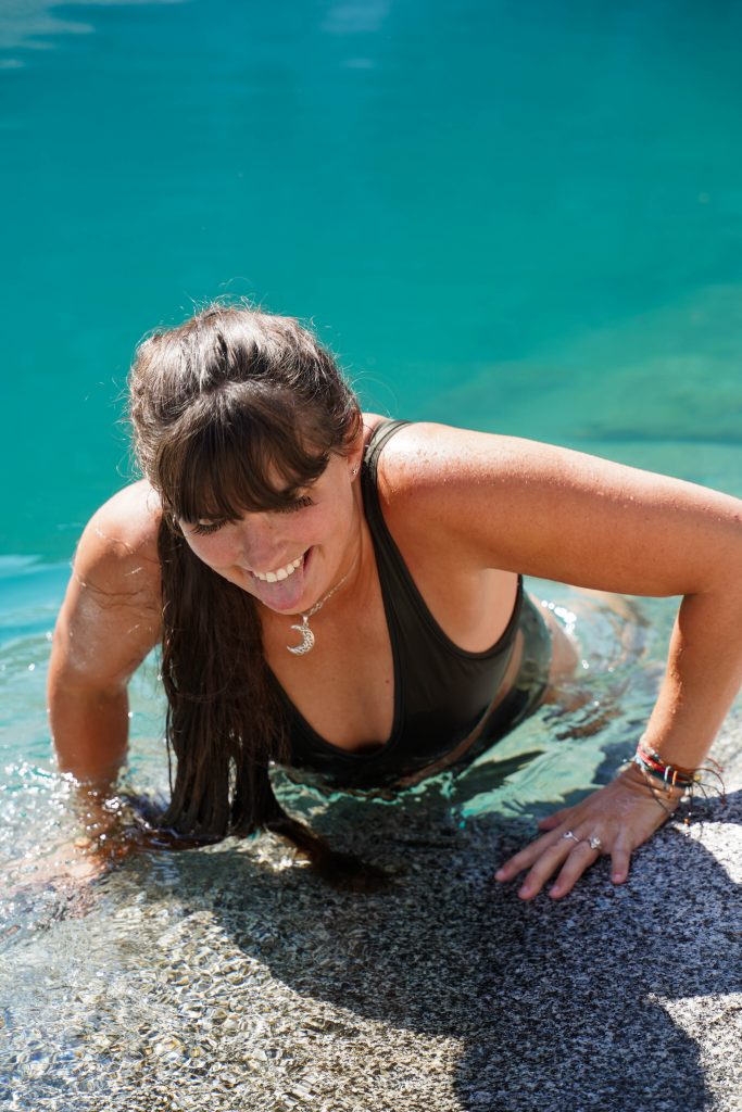
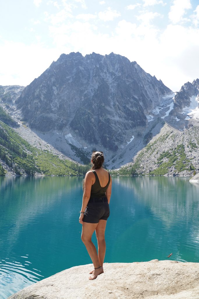
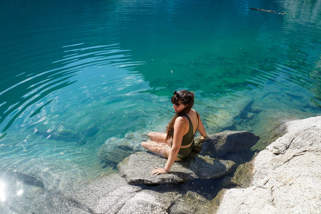
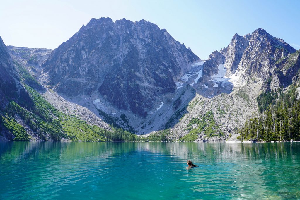
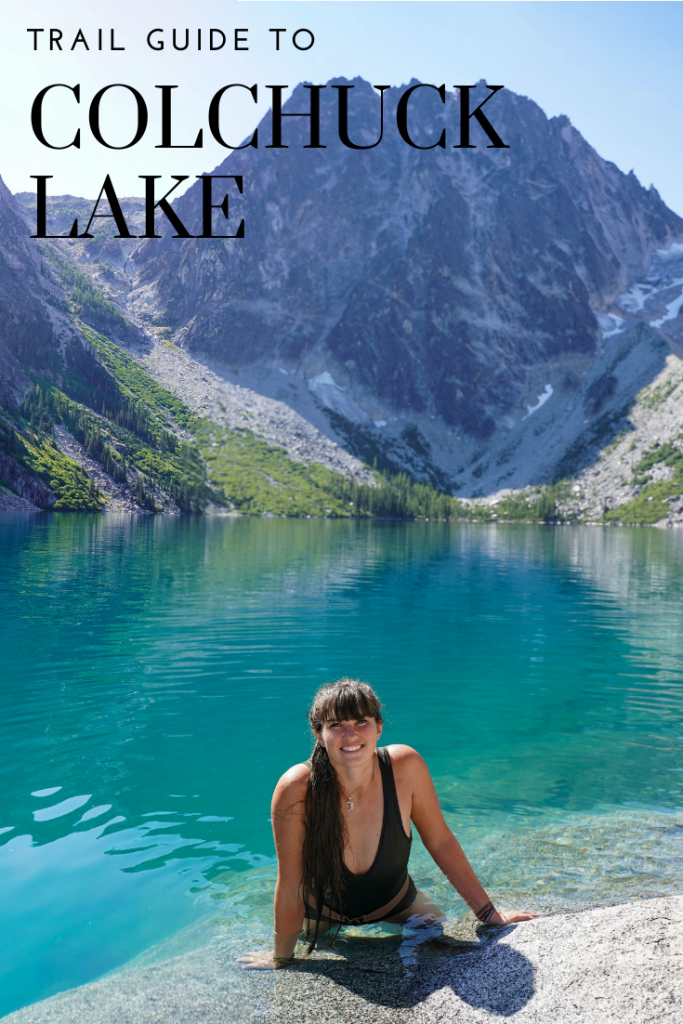
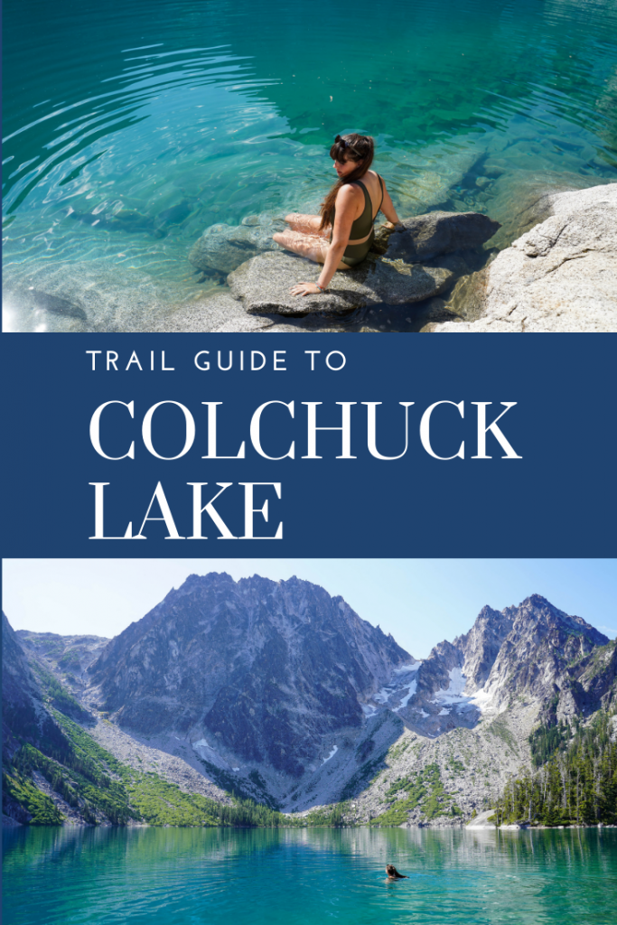
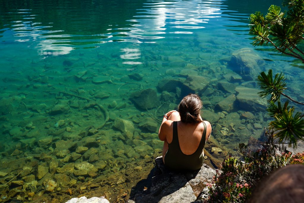
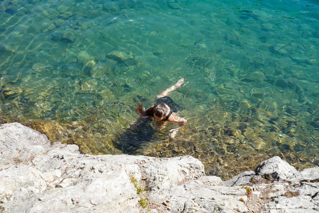
After the grand success of Colchuck I was ready to swim in another alpine lake. Let me tell you though this lake is NOT the same. It was pins and needles the entire time and I could barely handle having my upper body in the water at all. (Talk about sucking all the heat out of your body in an instant cold) We took a few photos where I stood on rocks off shore so my upper body could remain out of the water but just the short swims to get out there were a little painful. So unless REALLY cold water is your thing, I don’t really recommend a swim in this lake. It is allowed however if you so choose. 

Abort!

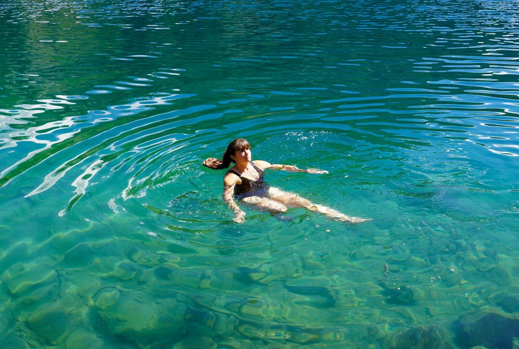
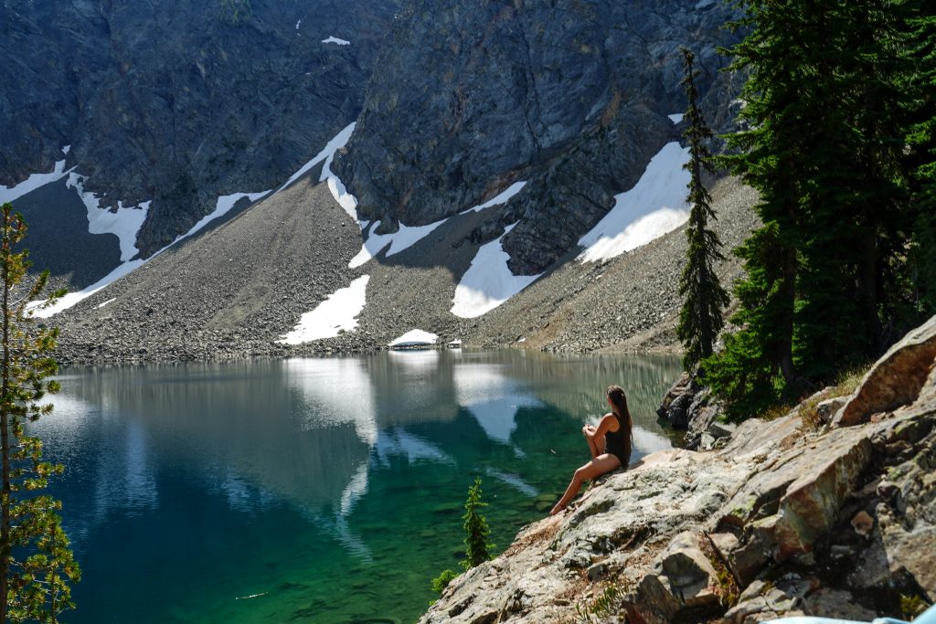
What do you think, would you take a dip in this alpine lake? Whether you swim or not, Blue Lake is yet another pristine alpine lake worth the hike in one of America’s most underrated National Parks. I highly recommend checking this one out!

Pin me:

Trail Guide to Colchuck Lake

Colchuck Lake used to be a hidden gem but is now quickly gaining in popularity. It’s a pristine alpine lake with soaring, jagged mountains above you, turquoise clear water below, and the added plus: water warm enough you can stomach swimming in. This lake is a real butt-kicker hike but an oh so worth-it destination. If your travels bring you near the Alpine Lakes Wilderness area, I can’t recommend a hike here enough. 

Trail Details:

Distance: 9 miles
Elevation gain: 2300 feet
Difficulty: Hard
Time: 6 hours
Fees: $5 (cash only) forest service fee. Free with a displayed NPW forest pass or National Parks Pass.

Red tape:

This trail is getting notoriously busy. Get there early especially on weekend to park in the lot. The road has plenty of no parking signs yet people seemed to park there anyway. It seems it is hit or miss whether you will get ticketed or not. We drove in and got to the trailhead at 6:30 AM on a Sunday morning to find an already full lot. The bathroom facilities were out of TP and one of the outhouses was pretty gross. Bring your own supplies and make sure to take care of business before starting this hike. LNT and that includes poop! 

Trailhead directions:

From state hwy 2, take Icicle Road 8.4 miles until taking a left onto forest road NF-7600. Then take a slight right onto NF-7601 and follow this road 3.5 miles to Stuart Lake Trail’s TH. This is where you will park. The 3.5 miles on 7601 are rough and filled with large potholes. Drive slowly and carefully. A passenger car can make it although not very comfortably.

Trail Description:

We got there bright and early but still got a place in a pull out just outside the park lot that was full. As we drove an hour from our airbnb, we actually made breakfast at the car once we secured our parking spot so started hiking more around 7:30AM.

The first 2 miles are fairly easy going and follow a picturesque stream. You’ll reach a fork in the road with the right going down to the “horse ford” and the left to the bridge. Take the left fork to a very scenic bridge and prepare yourself now for the grueling climb. 

Almost all of the elevation gain is in the last 2.5 miles with a never ending uphill feel. It’s steep with few switchbacks and lots of roots/ rocks. You’ll pass a couple waterfalls visible just off trail and then reach a signed fork in the trail. Stay left for Colchuck Lake. 

From this fork it is another 1.5 miles. The trail almost immediately crosses another bridge into a boulder field and then continues its uphill onslaught to the end. There are plenty of great break spots however with one that faces incredible views of the valley you’ve been climbing out of and nearby peaks. Take your time and enjoy the journey. 

Eventually the trail will level out and you’ll catch glimpses of the lake but it takes some meandering to find a spot to get down to the shoreline. Even if the lake is busy, do some exploring and you’ll likely find some quiet shoreline to hang out and enjoy the views.

A note on crowds

The trail didn’t feel busy at all to us on the way up and even right around the lake where we were closest to the trail didn’t feel all that busy. On our way down however it was packed and we past constant groups of ill prepared hikers and families making their way up. Start your hike early if you’d like to enjoy the peace and beauty of this spot.

A note on swimming

Pack a swimsuit as well. We spent around 1.5-2 hours eating lunch, taking photos, and swimming. The water was the warmest of any alpine lake I’ve felt. I even had no problems sitting up to my waist for 30 minutes in the sun and when I hopped in to swim, there was little of that tell tale “take your breath away” cold. I paddled around some time enjoying the perfect swimming conditions before drying off and starting our hike down. 
*That being said, the water was definitely still COLD. Just not AS COLD as other alpine lakes. It still might not be your cup of tea. 

In summary

Colchuck Lake was one of my top favorite hikes we did. While it was a butt kicker, the scenery along the trail was beautiful and adventurous and the lake at the end was easily the coolest lake I’ve hiked into. Let me know in the comments what you think of this incredible lake and hike! 

Pin me:

Trail Guide to Heybrook Lookout

If you are driving to the Enchantments area or heading out to chill around the charming town Leavenworth, this little hike to Heybrook lookout is a very worthy stop. It’s short (albeit pretty steep), has incredible views along with a historic lookout to explore, and will break up the drive from Seattle nicely. Bonus is how close it is to river fun so you can hike in the morning and tube or soak by the river in the warmer afternoon. 

Trail Details:

Distance: 2.5 miles RT
Elevation Gain: 900 feet
Difficulty: Easy- Moderate
Time: 1-2 hours
Fees: FREE
Facilities: None at the TH. There is a pit toilet down the ridge from the lookout at the end of the hike. Bring your own TP. Bring your own water.

Trail head directions:

The trail head is right highway 2 just past the small town Gold Bar,WA. If you are heading East, the parking area will be on your left and is a small gravel area just wide enough for cars to park directly in (vs parallel parking on the shoulder). The actual trail start is on the West side of the parking area and is marked with a small trail sign a few feet back into the trees. There are NO facilities at this trail head so plan your pit stop prior. 

About Heybrook lookout

The lookout is one of the last lookouts in WA, (106 remain) and one of the few that can both be entered and reserved for sleeping in! It’s situated on a scenic ridge with outstanding views of the surrounding valleys and nearby Mount Persis and Mount Index. There have actually been a number of lookouts in this location prior to the current Heybrook lookout. Each time the lookouts were built a little taller with the current lookout finished with construction in 1965. The present lookout is around 67 feet tall and is open to the public up to the observation deck- 89 steps up. 

Spend the night in the lookout:

Heybrook lookout is one of the few Washington lookouts you can actually reserve for the night! It was unfortunately booked out for our trip but it looks beautifully renovated and is quite private as the rest of the public hikers can only hike to the deck below the lookout’s rooms. (You get a key from the forest service before you start hiking) The lookout reserves quickly and is released on a rolling 6 month basis. Check here for more information or to check for availability. 

We wish we could’be spent the night or “hungout” longer at the lookout

About our hike:

We started our hike in the late afternoon on a Saturday in August. There were only 5-6 cars parked in the parking area and for a weekend and easy hike, we didn’t think the trail was very busy at all. It parallels the the road for a brief moment before turning sharply and heading up the hill in a series of switchbacks. While you can hear the road for the first 10-15 minutes or so you eventually leave it all behind and find yourself in a mossy forest with little bits of sunlight trickling through.

I learned quick on this, our first hike in WA, the sunscreen I bought was going to go to waste or just coming home with us. (foreshadowing: almost all the hikes we did were in the trees 80% of the way) 

The trail is made up of a couple long switchbacks and overall very well graded. It’s a good workout, but never felt too challenging like you might lose your footing and slip. We had bonus origami cranes to amuse us as well on the climb as someone had hung strands of them every 0.25 mile or so. 

It isn’t too long before you reach your first big break in the trees and get a reward of a nice open view. BUT if you turn and look up you’ll actually see the lookout right above you at that same moment- you made it! While it may have felt challenging on the climb up, you realize just how quick a hike it is and excitement replaces tiredness for up 89 steps you’ll be ready to go. 

At the top

When we got there we waited a couple minutes for a group to come down as the stairs and landings are pretty narrow and small. (Thanks Covid for making it even harder) Once we started climbing, we went straight to the observatory deck in case anyone else was waiting to come up or go down. 
The view from the top is just breath taking and I bet it is even better at sunset or sunrise. As it was in the afternoon, our views were pretty hazy and backlit but I can still appreciate the incredible mountains all around and a unique (tall!!) wooden structure bearing the brunt of weather and time since 1965. It is seriously impressive to stand up there and think about. 

After a couple minutes we actually got the lookout to ourselves for 30+ minutes as the previous occupants all headed out. On our way down we passed another 3 or 4 groups heading up, but again… really not that busy for a Saturday afternoon! 

Stop in Leavenworth for victory meal!

After finishing our hike we carried on our way to the adorable Bavarian modeled town of Leavenworth. This is a great stop for exploring the nearby Alpine Lakes Wilderness, continuing onto other destinations in the Cascades, or enjoying some fine Bavarian cuisine and beer. I highly recommend a stop in Leavenworth (short or long) after your excursion to Heybrook lookout.

Pin me:

Guide to Snoqualmie Falls

If you’re looking for an easy walk or place to explore close to Seattle that includes an incredible waterfall- look no further. At only 35 minutes drive from downtown and nestled in the cute community of Snoqualmie- this makes for an excellent half day excursion from the city or a quick stop if you are heading out to some of the nearby national parks. 

About Snoqualmie Falls

The falls are named after the Snoqualmie People, who have lived for centuries in the Snoqualmie Valley. They used the area as a traditional burial site and view the falls as “the place where First Woman and First Man were created by Moon the Transformer” and “where prayers were carried up to the Creator by great mists that rise from the powerful flow.”

In addition to being a powerful and beautiful waterfall at 268 feet, the water serves 2 energy plants below the falls that then serve about 1% of the energy sold by Puget Sound Energy who operates the plants. The first plant built in 1899 at the very base of the falls was the world’s first completely underground power plant and is buried 270 below the bottom.

The falls and surrounding park area belong now to the Snoqualmie tribe who have protected from over development. You’ll find 2 viewing decks, walking trails, gift shops, restrooms, and the Salish Lodge/ Restaurant at the falls. 
*Note: Currently due to COVID-19 the lower deck and trails are closed to the public. Only the upper viewing deck and area are open to visitors. 

Getting there:

From Seattle, follow I-90 E and take exit 25 for Snoqualmie Pkwy. Once you are pulling up to the parking lots, you’ll pull under a small pedestrian bridge and see a small parking lot on the left and a driveway to another parking area on the right. The parking lot on the left charges $7- save your money. Turn right into the large and FREE parking lot where there is usually ample parking. (We visited on a Saturday in August in the afternoon and there were loads of places to park a bit further in the back) 

If you park in the parking lot on the right, you will take the pedestrian foot bridge over to the park. The bridge includes interesting facts about the building of the power plants.

Once off the bridge you’ll see turn offs to go to the Salish lodge but if you continue straight ahead and slightly to the right you will come across the falls. (walking time from the upper parking lot is less than 5 minutes) 

Hiking around the Falls:

The falls were really incredible to see and each time we got to a new view point as we headed lower we unveiled more of a view of them. While I can only imagine the power coming off the falls in times of high rain (some of the photos of the falls look like a completely different waterfall due to volume) the falls in a drier August are still definitely worth the trek out. 

We spent some time wandering around the different viewing decks and meandering down the path that leads to the lower park and deck. Since those were closed however, we did not take the trail the whole way down. If you are interested in hiking from the upper park to the lower or vice versa, the trail stats are:

Trail Info: 

Distance: ~0.75 miles each way

Elevation change: 370 feet

We checked out the gift shop ( I have a magnet addiction) and headed on our way with the whole stop at the falls only taking around 40 minutes. We then headed out to check out the nearby cute towns and outlets as we continued our trek East.

Nearby Attractions:

1. Northwest Railway Museum – There’s also numerous fun little train photo ops in between Snoqualmie and North Bend. 

2. Three Forks Natural Area- more great parks to stretch your legs and get water views

3. Outlets in North Bend – Worth a visit if you want to check out a Pendleton store as part of your PNW bucketlist.

Whether you are just going for a short trip from Seattle, or heading out on a roadtrip to the National Parks, Snoqualmie is an excellent spot for as quick a stop as you want! Let me know in the comments if you’ve been or hope to see these falls someday! 

Pin me for later: