About:
Why 100? Why hiking? Well let’s just say I have a favorite hobby, and that hobby is hiking. I love the feeling at piece with nature, the exercise from climbing up hills, the general sense of adventure in seeing new places AND having those places to yourself, and lastly the people in the hiking community! I really love it all (even if I still complain on the steeper trails)
How to accomplish the 100 hike challenge
- If you haven’t tried the 52 hike challenge yet, give that a go! It aims at getting you to hike once a week for a year. (I was hitting the goal easily by October every year so I wanted to push myself even more and aim for 2/week)
- They don’t all have to be hard hikes! My only requirement for myself was that it was a mile long and got me out in nature (no urban hikes ) and I tried to make them as different as I could but with changing seasons, the same trail can look many different ways.
- DO try to use this challenge to get a little out of your comfort zone! Whether this takes you to hiking in a different state or to a different hobby, you might find some more outdoor enthusiasm when you find you like hiking to a climbing spot or a technical canyon.
- Do use this challenge to see some new places! It doesn’t have to be a different hike every time, but it won’t seem like quite a chore to hike twice a week if you are finding and experiencing new trails.
- Which brings me to- ALLTRAILS amazingly helpful app, highly recommend to exploring the trails near you, as well as using the trail map while hiking to ensure you don’t get lost.
- Invest in some quality outdoor gear, especially shoes! It can be a bit of a process finding hiking shoes that fit just right (speaking from experience of seemingly always having he wrong footwear) so I highly recommend stores like REI which have 365 day gear guarantees! So you can actually WEAR those shoes hiking and return them if they aren’t the best fit.
- Highly recommend using a location tracker app like endomondo or strata as well, to track your progress on a trail and at the end know exactly how you did! I love being able to show the stats to my coworkers Monday morning to show just how crazy of a weekend climbing mountains I had.
- Last but not least, practice “Leave No Trace”, take nothing but photos, and leave nothing but footprints.
If you need ideas for hikes out West, in Florida, or amazing international spots, check out my list (and photos of course!) of all 100 hikes I completed in 2018.
Color code is for anything that wasn’t a hike close by in my backyard: Some hikes have links to a blog post! Will link more as I blog about my favorite trails.
National Parks
Bryce Canyon
Canyonlands
Arches
Capitol Reef
Grand Tetons National Park
Grand Canyon
Countries
The Unities States
The Philippines
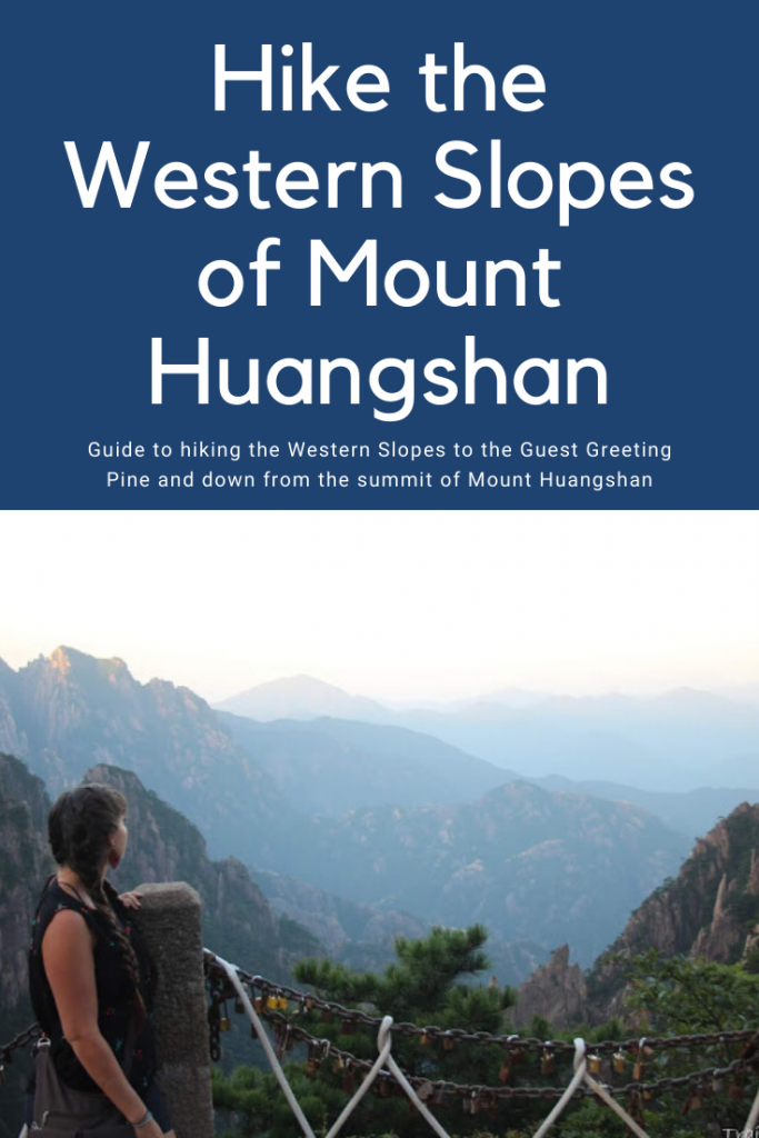
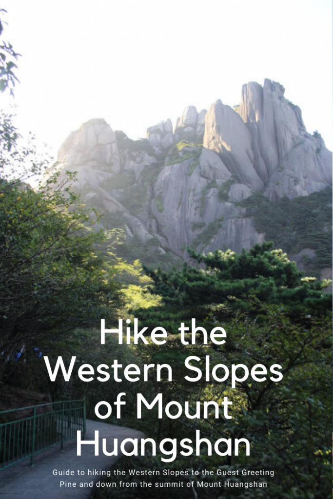
China
States
Utah
Wyoming
Florida
Nevada
Arizona
State Parks/ Monuments/ Reservations
Goblin Valley
Escalante- The Grand Staircase
Florida Caverns State Park
Falling Water State park
Valley of Fire
Havasupai Indian Reservation
Antelope Island
Wasatch Mountain State Park
Hikes 1-25
1. Curly Springs Overlook via Dry Canyon 2.5 miles RT 800 feet elevation change
2. Battle Creek Falls 1.5 miles RT 600 feet
3. Jacks Mailbox 2.7 miles RT 1300 feet
4. Rock Canyon to the campground 4.7 miles RT 1370 feet
5. Adams Canyon waterfall 4 miles RT 1400 feet
6. Little Wildhorse- Bells Canyon loop 9.8 miles RT 1700 feet
7. Pleasant Grove “G” trail 2.2 miles RT 800 feet
8. Upper Falls from Nunn’s Park, 3.2 miles, 600 feet
9. The Provo “Y” trail 2 miles RT, 1000 feet
10. Trail of the Eagle, 4 miles RT 600 feet
11. Bonneville Shoreline between Grove Creek and BC, 1.5 miles RT 300 feet
12. Rocky Mouth Falls 1 mile RT, 200 feet
13. Traverse Mountain Ridge, 3 miles
14. Mt Tapyas in Coron, 1,5 miles RT, 700 feet
15. Badian Canyoneering in Cebu, 2.5 miles RT
16. Osmena Peak on Cebu, 1 mile RT, 400 feet
17. Grove Creek, 4.5 miles RT 1600 feet
18. Dry Canyon Orem to overlook, 2 miles RT- 550 feet
19. Hurricane Wash to Jacob Hamblin Arch – 7.7 miles 1 way, 500 feet
20. Jacob Hamblin Arch to Stephen’s Arch- 17.5 miles RT, 1000 feet
21. JHA back to Hurrican Wash TH- 7.7 miles 500 feet
22. Backpack in to Reflection Canyon, 9 miles 800 feet
23. Backpack out of Reflection Canyon, 9ish miles 800 feet
24. Horsetail Falls, 5 miles RT, 1600 feet
25. The Living Room of SLC, 3 miles RT, 900 feet
Hikes 1-25: 112.5 miles, roughly 22,700 feet of elevation change
Hikes 26-50
26. Bells Canyon to lower waterfall, 5 miles RT 1630 feet
27. Twin Peaks from alternate trailhead, 3.5 miles RT, 1000 feet
28. Grandeur Peak, 8 miles RT, 3000 feet
29. Traverse Mountain Summit- 3 miles RT, 540 feet
30. Battle Creek Falls further up trail- 3 miles RT, 1000 feet
31. Sunglow Canyon- 3.5 RT, 1200 feet
32. Florida State Park compilation- 2 miles
33. Horsetail Falls Work club lead- 5 miles, 1600 feet
34. Spring in Big Springs loop! 3 miles RT, 500 feet
35. Orem Big Baldy Summit (attempt), 5.5 miles 2400 feet
36. SLC foothills secret sunset spot hike, 3 miles RT 700 feet
37. Pine Hollow trail, 5.5 RT, 1600 feet
38. Heugh’s Canyon Waterfall, 3 RT, 1200 feet
39. Fire Wave, 1.5 RT
40. White Domes Loop/ Rainbow Vista trail, 3 miles
41. Tibble Fork Loop 5.6 RT 1600 feet
42. Lake Blanche 7.5 RT 2600 feet
43. Julie Andrews Meadow 4 RT, 1000 feet
44. Diamond Fork Hot Springs, 5 RT, 636 feet
45. Hilltop to Supai campground, 10 one way, 2500 feet
46. Campground to Navajo and general waterfall exploration, 2 RT
47. Havasu to Mooney, 2 RT
48. Supai Campground back up to hilltop 10 one way 2500 feet
49. False Kiva Trail 2.5 RT 170 feet and Mesa Arch, .6 RT
50. Corona Arch 3 miles RT 650 feet
Hikes 26-50: 109.1 miles, roughly 25,526 feet of elevation change
Hikes 51-75
51. Delicate Arch 3.5 RT 590 feet
52. Negro Bill/ Grandstaff Caynon 5.3 RT 1700 feet
53. Grotto Falls Payson 1 RT
54. Wind Caves in Logan 4 RT , 1100 feet
55. Twin Peaks from main TH 3.75 RT 980 feet
56. Cassidy Arch CR 3.5 RT 1000 feet
57. Hickman Bridge CR 2 RT, 320 feet
58. Little Wild Horse Slot 3 RT
59. Willow Heights Lake 1.5 RT 650 feet
60. PC Hill 1.5 RT 518 feet
61. Wolverine Cirque Loop 8 RT 2,350 feet
62. Bald Mountain Uintas 4 miles RT, 1300 feet
63. Taggart Lake GTN 3.8 RT 400 feet
64. Delta Lake GTN 8.5 RT 2600 feet
65. String Lake/ Leigh Lake loop GTN 3.75 RT 182 feet
66. Maybird Gulch lake 8 RT 2000 Feet
67. Aspen Grove Waterfalls 3.5 RT 700 feet
68. Bourbon Lake and Mirror lake loop combined 3.5 RT
69. Sunset Peak via Brighton 6.5 RT 2000 feet
70. Tibble Fork lakeshore loop 1.5 RT
71. Buffalo Peak 3 RT 850 feet *
72. Mt. Superior loop 4 miles, 4,424 feet
73. Sugarloaf Peak 5 RT 1700 feet
74. Battle Creek Falls baby hike 2 RT
Hikes 51-75: 100.1 miles, roughly 25,362 feet of elevation change
Hikes 76-100
79. Clayton Peak 4.5 mile loop 1700 feet
80. Dog Lake (Milcreek side) 6.5 RT 1200 feet
81. BC- GC loop 8.5 loop 2700 feet
83. Carbon County trail exploring 1.5 RT
84. Big Springs Loop Fall! 3 mile loop 500 feet
85. Stewart Falls 3.5 RT, 650 feet
86. Queens Garden- Navajo Loop BCNP 3 mile loop , 625 feet
87. Grand Canyon NR-SR 24 miles point to point 5800 feet down, 4400 feet up
88. Silver Lake AF canyon 6 miles RT 1400 feet
89. Ensign Peak 1 mile RT, 400 feet
90. Diamond Fork Hotsprings Fall edition, 5 miles RT 630 feet
91. Frary Peak on Antelope Island 7 RT, 2100 feet
92. Nagah Canyon Capitol Reef – 2.3 mile loop 600 feet
93. Herriman Fire Memorial Hill trail 3.5 RT, 900 feet
94. Upper Stair Canyon, 2.4 mile loop 500 feet
95. Shillelagh Canyon Right Fork 2 mile loop, 400 feet
96. Spanish Fork Cross/ Dominquez Hill 2.2 RT 360 feet *
97. Squaw Peak 8.6 RT, 3000 feet
98. Angel Cove Slot (both forks) 5 miles RT, at least 1600 feet
99. Shillelagh Canyon Left Fork 2.6 mile loop, 500 feet
100. Dutch Hollow Midway 4.5 mile loop 580 feet
Hikes 76-100: 129 miles, roughly 36,445 feet of elevation change
1 year= 450.7 TOTAL MILES around 110,000 feet of elevation change (roughly)