Greece Day 4: Santorini. As our flight didn’t get us in until well after midnight and we still had to get settled, we slept well into the next day only leaving our hotel, Villa Manos to walk into the main town Thira around 1. The walk was about 20 minutes (with 10 minutes on a narrow road with no sidewalk and almost no shoulder) but we did stop by a market and pick up cheap waters (1.5 liters for 35 cents!!! WHAT!?)
Thira is the capitol city of Santorini or the main town so we sought out the post office for post card stamps and explored the shops to pick up some souvenirs and wait out the hottest part of the day. (it was hot!) I loved all the church architecture and the walkways which had beautiful stone work done. Between the 3 of us we got caught up in quite a few shops with the longest being in a painting shop where we each got paintings haha. (but they were legit hand done for only 30 euros for like HUGE paintings!)
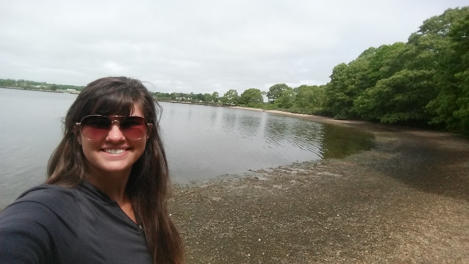
Thira itself is a fun place to explore with so many shops and hotels and restaurants around every corner. However make your way out to the coast and the views are very rewarding!
First on our checklist was to walk down to Thira’s port… which is quite the hike my friends for what goes down.. must come back up. I was hoping for a spot to jump in and swim but in Thira port, there is no such place. 🙁 We passed A LOT of donkeys on our way down as well but I had previously promised myself I wouldn’t ride one (though they looked to be pretty well taken care of despite things I had read earlier)
Looking back up at Thira on the way down to the port… about halfway down
The port! There are a few option to get back up from here. 1st is the cable car: cost is around 5 euros. 2nd are the donkeys: Cost around 7 euros
Third: the option we crazies decided to go with was to walk. The walk is paved switchbacks with wide stairs (approx. 600 of them!!!) and took us about 20 minutes to get back up (with rest stops) MAKE SURE you have water with you for you WILL need it. We all finished our massive 1.5 liters of water on the way back up.
Looking out from Thira at the volcano island (left) and the 2nd inhabited island of Santorini: Thirassia (right)
After our grueling climb back up from the port we immediately got more huge waters and started out on the coast hike to the town of Oia. (pronounced EEAh guys) It is approximately 11 km between the towns but as both towns are extremely long, you can count on adding at least another 6 km between walking through the towns)
Not too many blue domes in Thira but still some pretty architecture. From this view you can see the highest point of Santorini where the ancient ruins of Thira are.
There are signs within the town to keep you on the correct path but I will say there are not THAT MANY. There WILL be moments of doubt, but when in doubt, stick to the coast and wider pathways.
YAY Blue domes!
There are many beautiful stairs within the town. (like this) on your path to Oia, you won’t go up any of these as they mostly lead to hotels and restaurants.
A church in Thira
Making our way through the town. It took a long time to clear Thira.
But finally, we were on a dirt trail out of the town looking back at the long coast.
Starting to see Oia up ahead! Still a long way to go.
One of the signs on the trail to keep you on the right path. Once you are out of the town, it is very easy to stay on the trail.
A Carin garden on the trail to Oia
There is a brief section of the trail that spits you out onto the main road. It is less than a Km on the road, but be careful as the shoulder is not very wide. Before long you will see the trail (with a sign) pick up again.
Looking back toward Thira. Part of what makes this trail so long is that the island is not a straight shot. You have to follow the curves and yes you have to go up all the hills. The trail goes up at LEAST 2-3 big hills instead of going around them. Make sure you have good footwear as there is loose volcanic rock in a lot of sections.
Finally seeing the beginning of civilization up head with a church. The first thing we’d seen in miles.
There was also a cute dog at said church.
Coming into Oia at long last! But still a ways to walk before we were ready for the sunset!
Another beautiful church before we got into town. (sans blue dome though)
Must. Stay on. The path. Blue domes in the distance!!!
Ah a sign which actually tells you the distance! All the previous signs just gave you an idea (legit idea) of how long in time you will be walking. Say 3 hours. haha
1st things first after all that hiking.. we were starving so we fell upon the first market we came across like ravenous wolves. I ended up with a very complete meal of a loaf of bread, apple, and bottle of coke. haha
From Oia looking back at Thira.
The main square of Oia. To the right is the pathway to the buses. (as we learned later as we FOR SURE were taking the bus back haha)
We got in with just enough time to stake out a good sunset watching spot. We explored the end and snapped a photo of the famous windmill. But then continues on to a better spot.
Basically follow the crowds but before you get to the rock where EVERYONE goes, take a right to a little side street where you get almost as many views for your shot, but a lot less people to contend with.
Now time to wait out the sun. (about an 1.5 hours since it set around 8:20)
You can see a bit of the windmill peeping out by the dome (which to our sadness was not blue )
There area we were at also began to fill up with people but we had staked out our spots well where NO ONE could stand in front of us.
Lots of boats arrived to watch the sunset from the water.
The evolution of a sunset
As soon as that sun set out of site we hit the ground running to make it back to the buses. We got there in time to catch the first bus out (Barely) and the line looked pretty long as most people don’t shell out the money to stay in Oia… we must ALL get on the bus back to Thira.
Right: Thira lit up at night.
Now we knew we’d earned some gelato so we explored a bit of Thira until we came upon the MOST delicious gelato ever. They had a lot of different flavors but the 2 I settled upon was the 50 shades of grey flavor ( which they said was black vanilla, tasted like a cross over between white chocolate and vanilla) and Vinsanto which is their dessert wine on the island and had sun dried grapes (not rains) mixed in. Both flavors were sooo good, I will be forever dreaming of that gelato.
So we took our delicious dessert out to view the beautiful lights of Thira. We picked up our painting we had purchased previously and not wanted to hike with along with a few other souvenirs before making the scary walk back to Villa Manos. (it was after 11 that we started back and while the bus schedule claimed to go until midnight we couldn’t find any buses going our direction)
Day 4 costs: Breakfast at Villa Manos- a very small waffle for 5 euros
Our 2 giant waters total: 1.70
Painting: 30 euros
Other various souvenirs: classified
Dinner of bread, apple, and coke from the market: 3 euros
Gelato: 2 scoops for 4 euros
Bus from Oia back to Thira: 1.80
Night at Villa Manos: 56 euros (again split between 3 people) so 19 pp
Total cost for day: 34.5 if you don’t count painting or 64.5 if you do
Total distance walked/ hiked: 17 miles


 A snapshot of a deer in the more wooded section of Bluff point. Apologize for the blurr but it was all I could get with a very excited hound dog ready to chase after it.